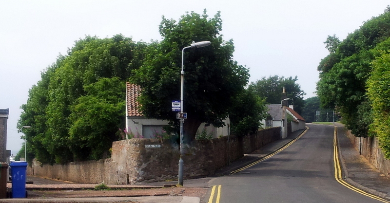
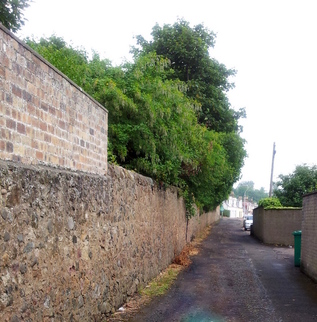
The main photograph shows the Drummochy Road on the right running uphill towards Crescent Road and to its left is the narrower Drum Park. For a long time (probably a couple of centuries) this was referred to locally as the 'Pans Road' as it connected the old panhouse to the main road (along which some of the salters cottages would have been).
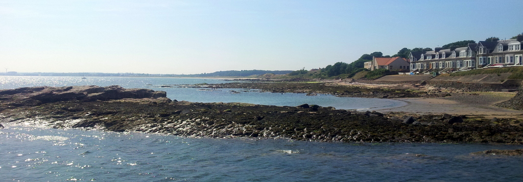
The 'Largo Village Book' compiled in 1932 by the Largo WRI, mentions salt production in a couple of places. Firstly, it notes that the Old Statistical Account of Scotland from 1792 records that salt from Largo was shipped for Dundee and Perth. Secondly, the book notes that in 1840 there were records stating that "in old times a trade was carried on with Campvere and Rotterdam [both in Netherlands] in coal, salt, iron, sandstone, etc."
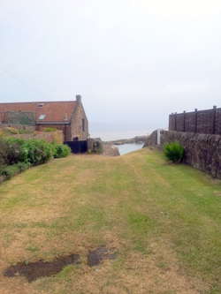
This image shows the slipway down to the sea next to the former salt girnel. I guess that at one time this could have been a hive of activity. Finally, at the foot of this post is a view of the front of the Drum Park houses (and beyond them the site of the old panhouse - now private homes) on a beautiful summer's day last year.
This image shows the slipway down to the sea next to the former salt girnel. I guess that at one time this could have been a hive of activity. Finally, at the foot of this post is a view of the front of the Drum Park houses (and beyond them the site of the old panhouse - now private homes) on a beautiful summer's day last year.
 RSS Feed
