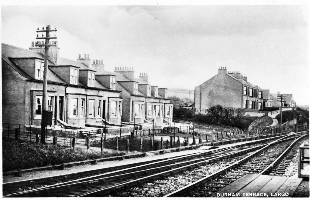
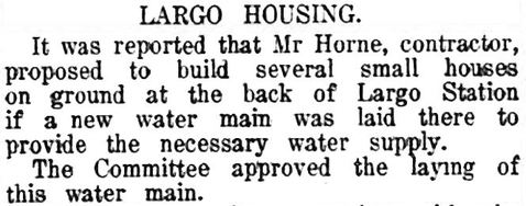
The above postcard image features recently built housing, adjacent to the railway line, just to the east of Largo station. Durham Terrace is in the foreground on the left and Bourtree Terrace is in the distance, right of centre. It had taken a long time for the land to the north of the railway to be developed but the St Andrews Citizen of 19 March 1927 captured the first hint of the development that was to follow. The small article below shows that in 1927 a small scale scheme was proposed, if the infrastructure could be put in place to support it.
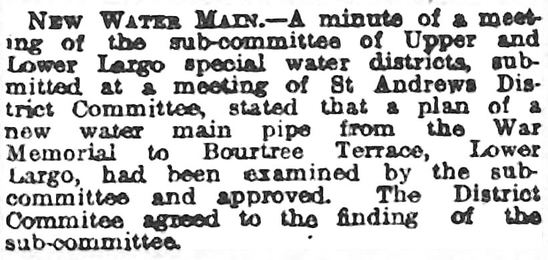
In fact, it was another year before the water main was fully approved (see notice from 17 March 1928 Fife Free Press).
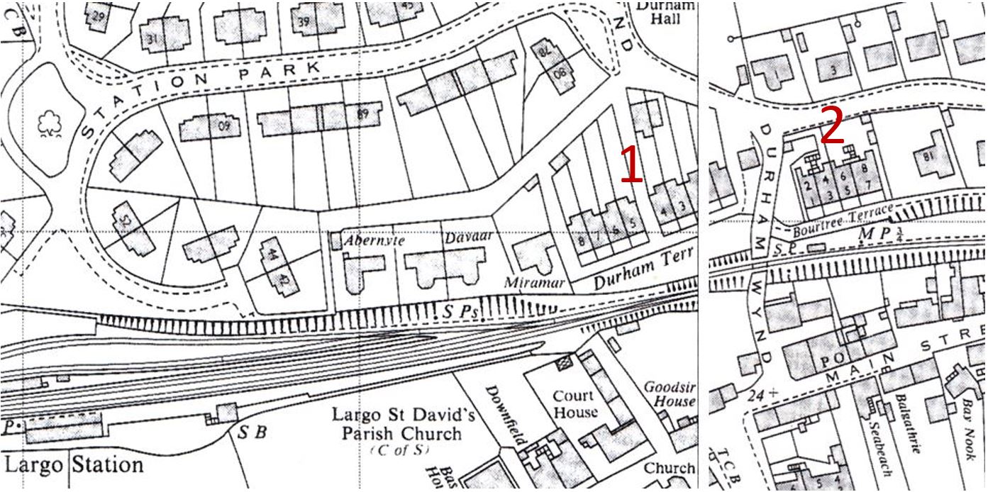
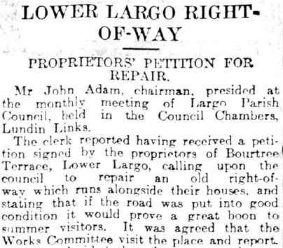
The map above shows the location of both Durham Terrace (1) and Bourtree Terrace (2) relative to the station and railway line. In 1930 the residents of Bourtree Terrace sought the reinstatement of a right of way (see below, 6 February Courier). The late 1930s saw the further expansion of this area, with the first phase development of Station Park and the development of the vicinity has spread further north and east in phases and continues to this day.
 RSS Feed
