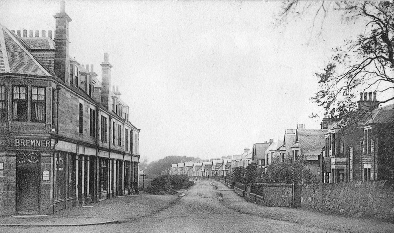
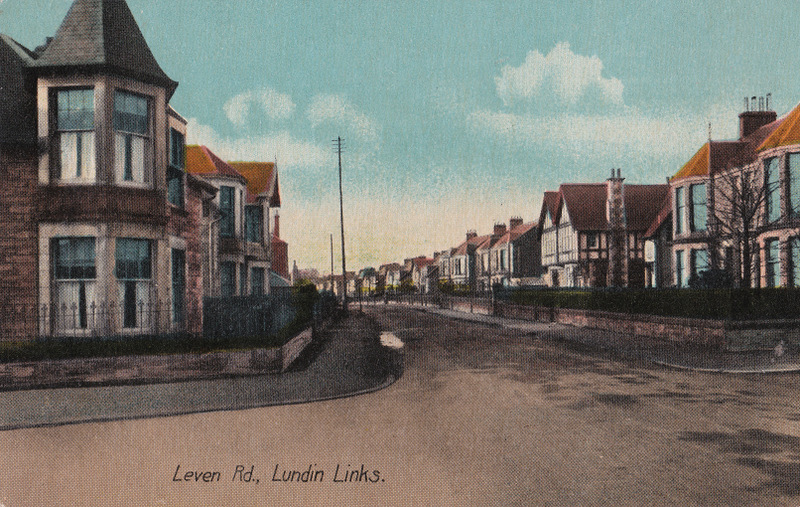
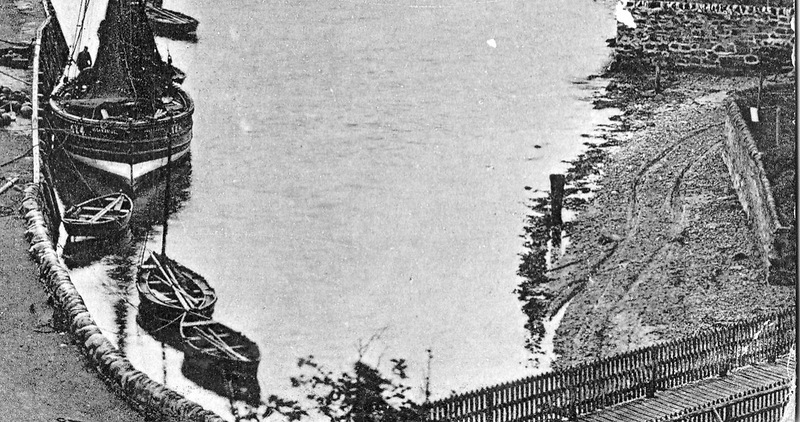
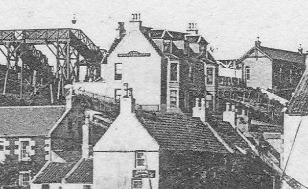
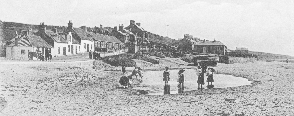
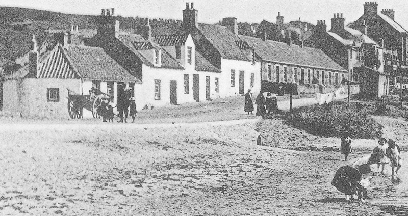
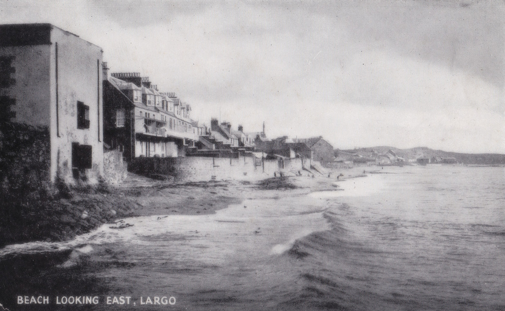
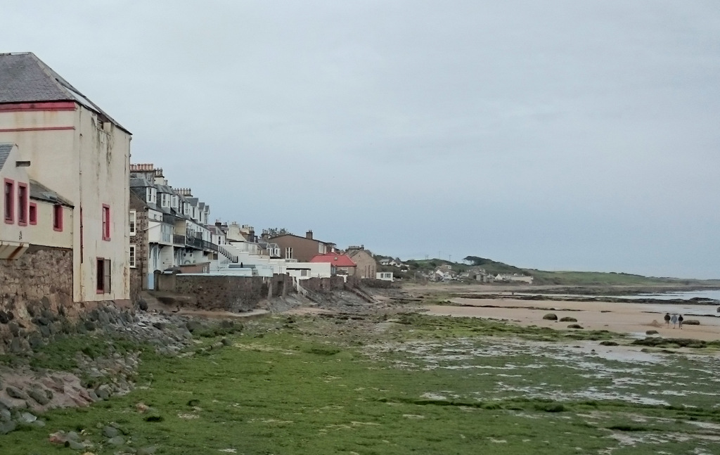
When I came across the historical street name "Gilmour Place" in Lundin Links within census data, I was initially at a loss as to where this was. After a little investigation, it appears that this was the original (and fairly short-lived) name given to part of Leven Road, around the turn of the century. It seems to have mainly been applied to the parade of shops on the left of the above image and also to the houses that were subsequently built on the other side of the junction with what is now Crescent Road. So in the image below, the house in the foreground on the left and those beyond on the same side, were also briefly considered to be part of Gilmour Place (named after the land owner who restarted the feuing of the Lundin estate).
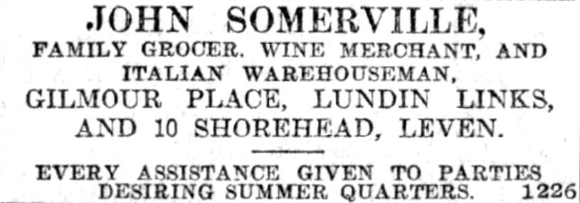
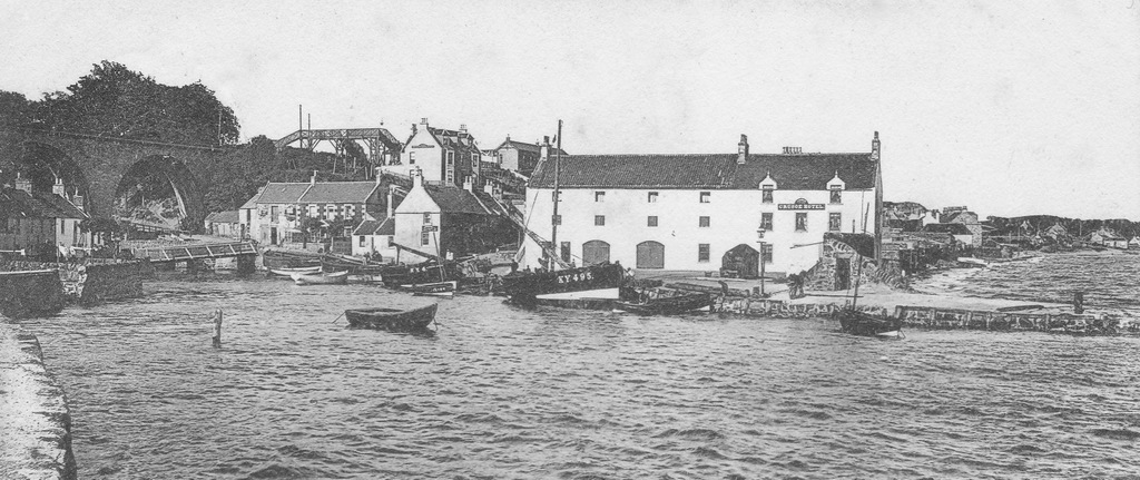
The prominent house on the corner in the image below was named 'Aldersyde' and was originally occupied by the Gulland family who ran the draper's business within the row of shops. The shops were built from 1896 onwards and Aldersyde was in existence by the 1901 census, so the above photograph was probably taken c1900. The one below was perhaps a decade or so later. Confirmation of the whereabouts of Gilmour Place was found in an advert for Somerville the grocer from 1905 (see foot of post). However, by 1908 the street was referred to in its entirety as Leven Road.
The prominent house on the corner in the image below was named 'Aldersyde' and was originally occupied by the Gulland family who ran the draper's business within the row of shops. The shops were built from 1896 onwards and Aldersyde was in existence by the 1901 census, so the above photograph was probably taken c1900. The one below was perhaps a decade or so later. Confirmation of the whereabouts of Gilmour Place was found in an advert for Somerville the grocer from 1905 (see foot of post). However, by 1908 the street was referred to in its entirety as Leven Road.
 RSS Feed
