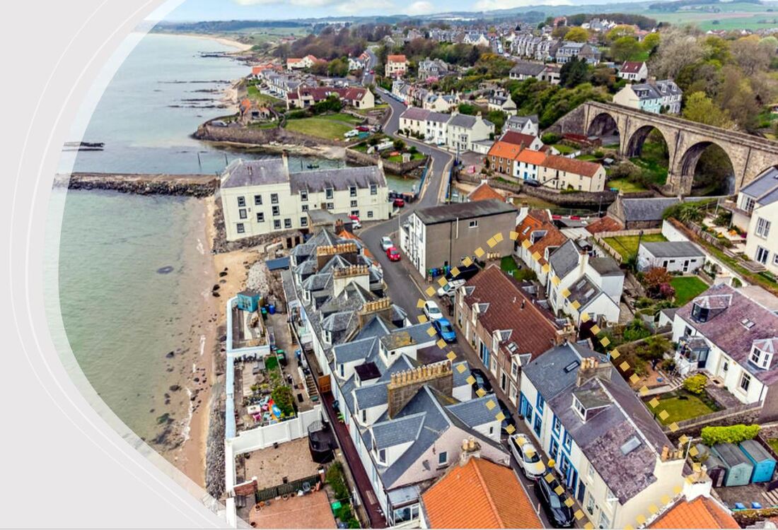
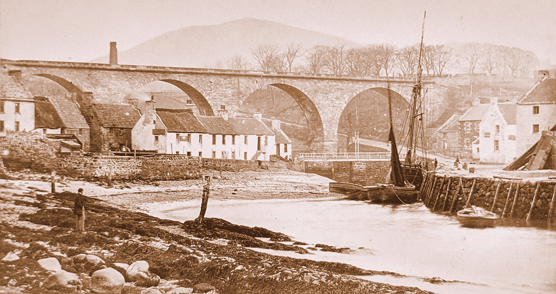
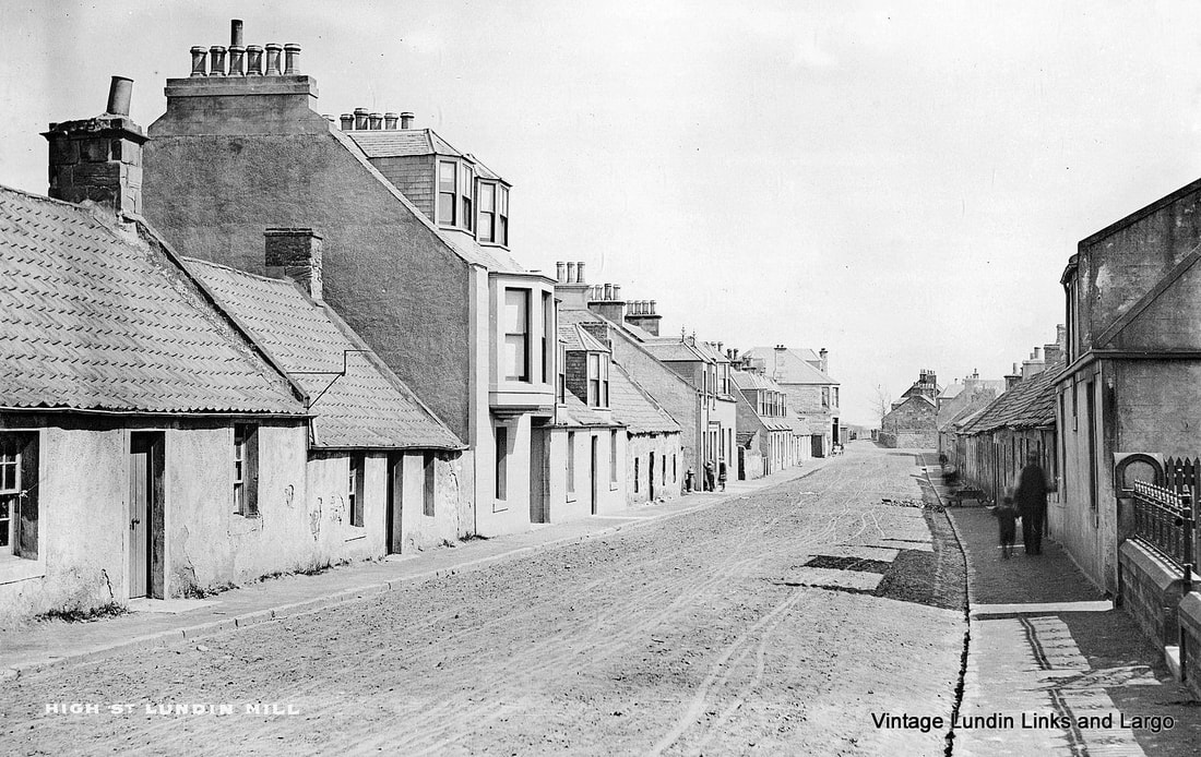
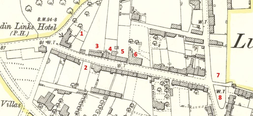
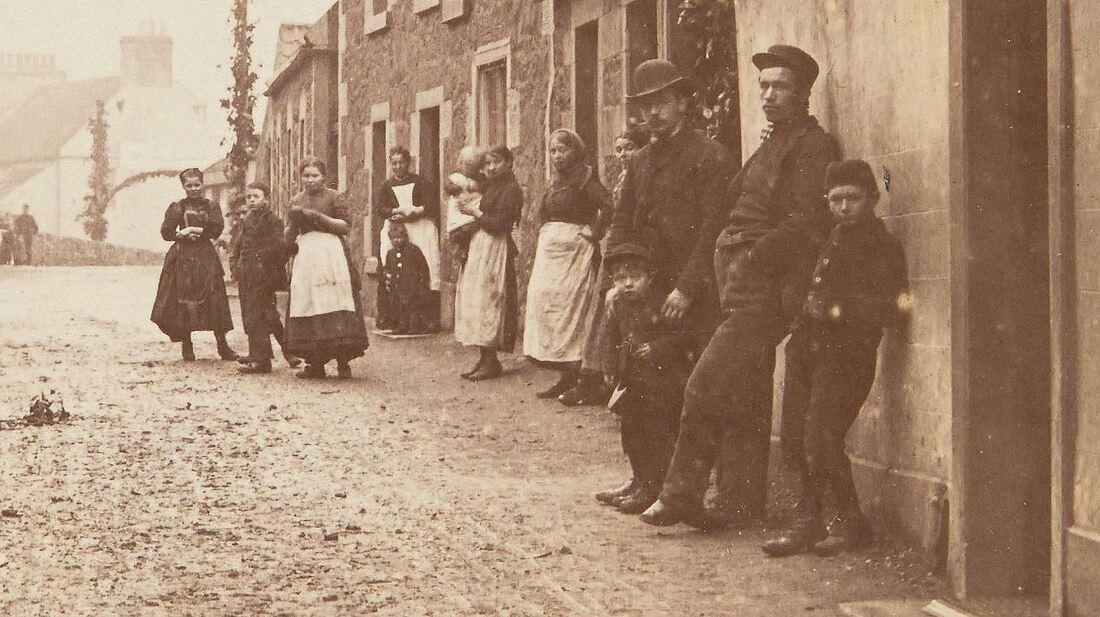
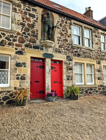
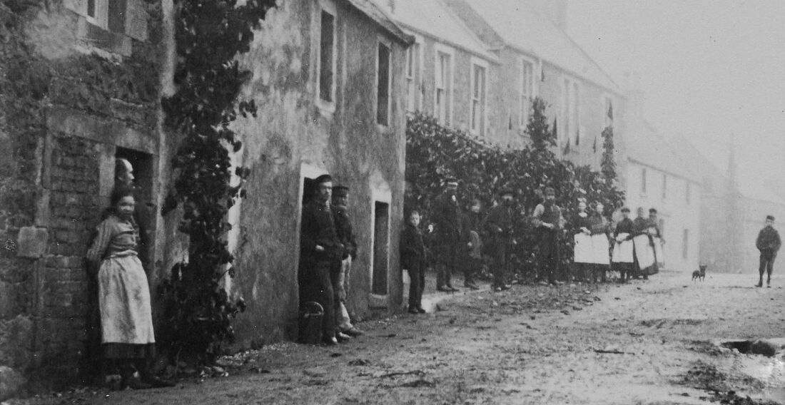
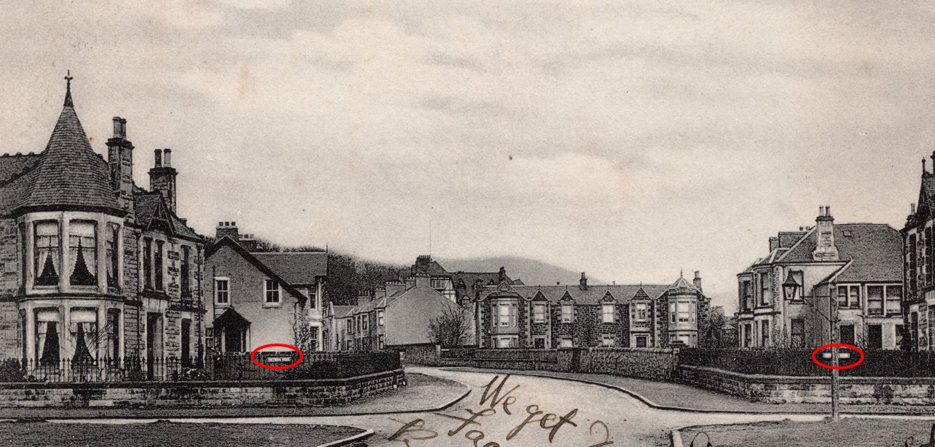
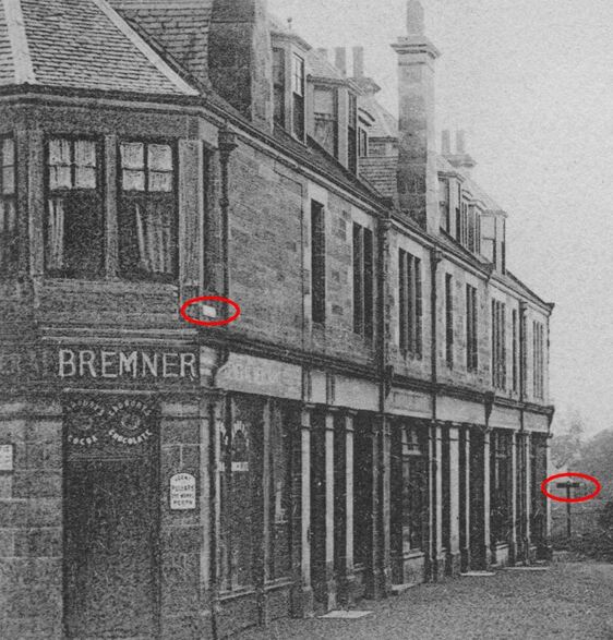
The terraced buildings in Lower Largo, marked with a yellow dashed line on the image above, were once collectively named Defoe Place. They were named after the English writer Daniel Defoe (1660-1731), pictured below, author of the hugely popular novel Robinson Crusoe, thought to have been inspired by Largo-born Alexander Selkirk (1676-1721). The choice of name was perhaps due to the timing of the construction of the buildings. Erected in the early 1880s, this period fell between the bicentennial of the birth of Selkirk in 1876 and the desire to create a Crusoe memorial in the village, which resulted in the unveiling of the Crusoe statue in 1885.

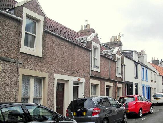
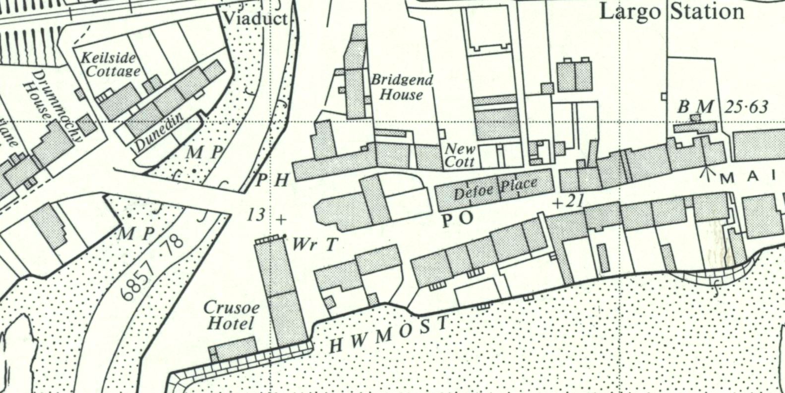
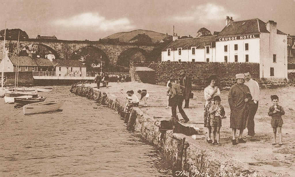
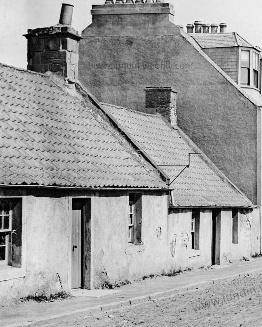
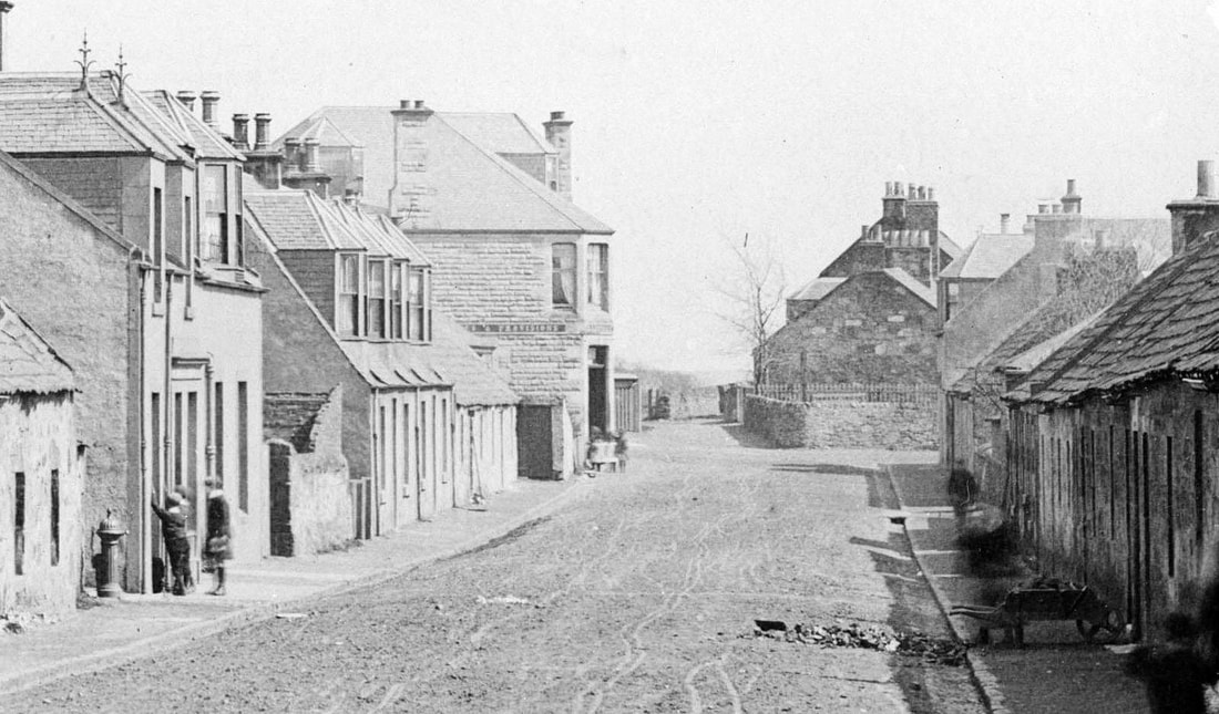
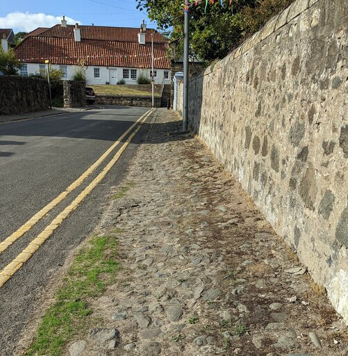
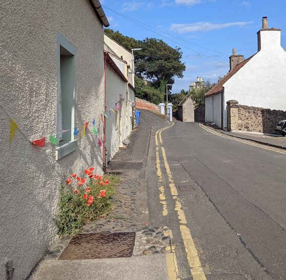
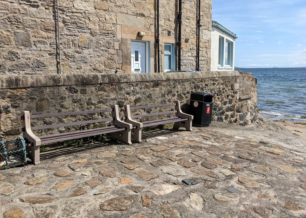
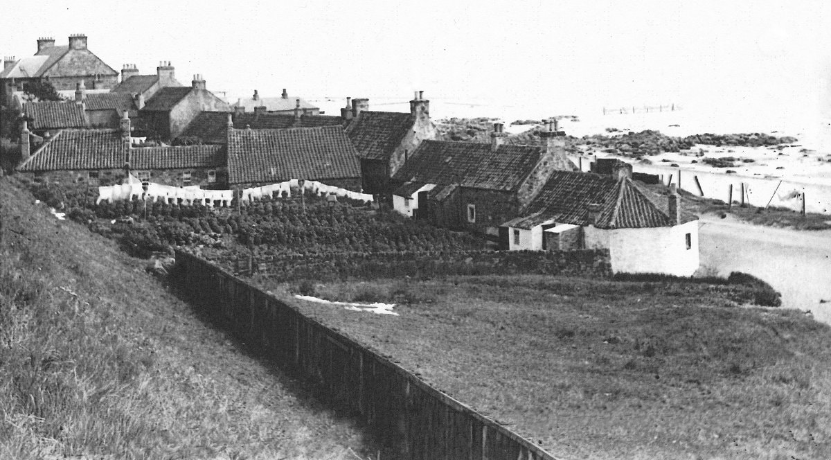
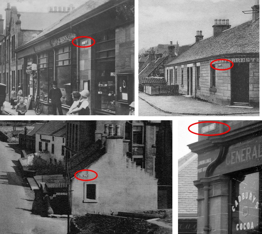
Rather than being a uniform terrace of houses, Defoe Place comprised two halves of differing appearance, the west side having distinctive dormer windows. Perhaps like the buildings on the opposite side of the street ( "Edina View", "Rock View" and "Beach House") they were built in stages. The 1964 map below shows the buildings clearly still named 'Defoe Place' at that time. However their original name was discontinued during the 1970s, ironically around the time of the Crusoe 300 celebrations to mark the tercentenary of the birth of Alexander Selkirk. The terrace was subsumed into the wider ‘Main Street’. The uneven numbers between 3 and 17 Main Street today represent what was once Defoe Place.
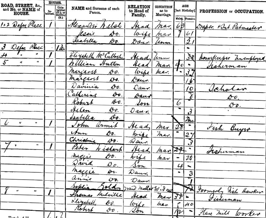
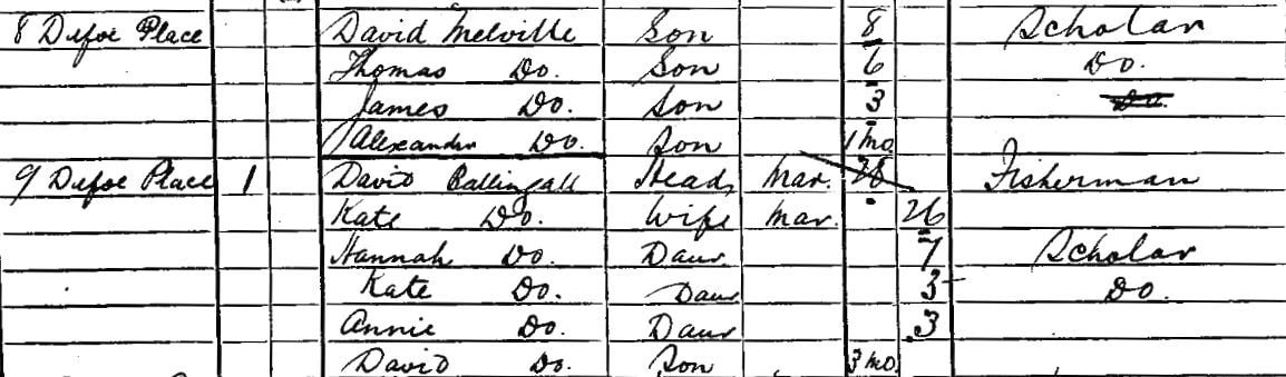
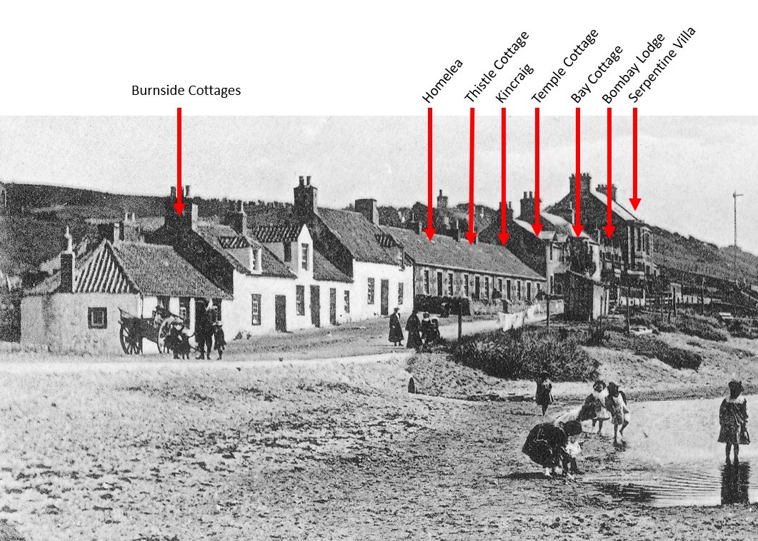
The valuation roll of 1885 shows that all of Defoe Place was originally owned by Benjamin Philp, corn merchant and commission agent. The first annual census that included the Defoe Place dwellings was that of 1891. Below are the early residents of 1-9 Defoe Place which included the Post Office that opened in 1884 (see postmaster and draper Alexander Welsh at numbers 1 and 2). Defoe Place was the ideal location for the new Post Office, being conveniently placed between the harbour and the railway station. Many of the other homes in the block were originally rented by fishermen and their families, including William Hutton, Peter Wishart, Thomas Melville and David Ballingall.
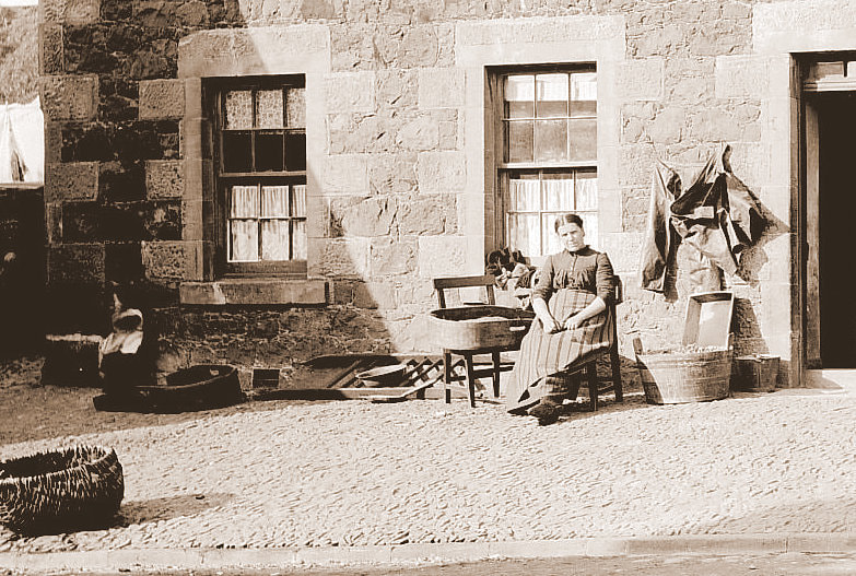
The former Defoe Place has seen many changes over the years. The fishermen are long gone. The Post Office moved along to 91 Main Street in the 1960s. Although a shop remained in its place for a time, the block has been entirely residential for many years. Would you like to see the Defoe Place name reinstated?
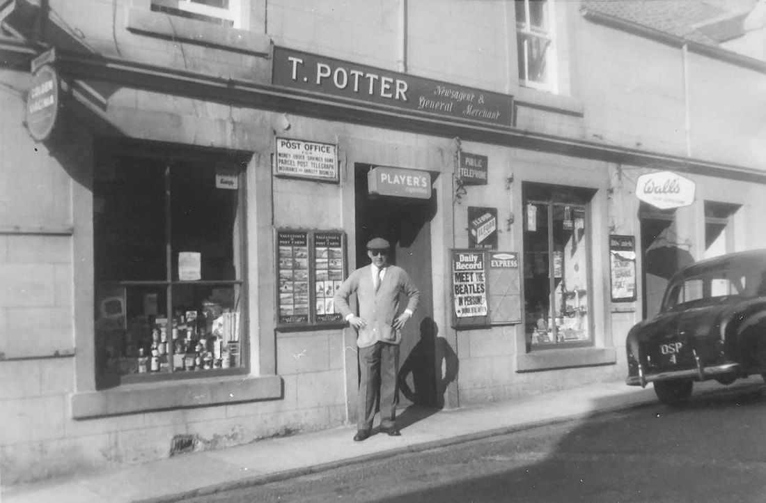
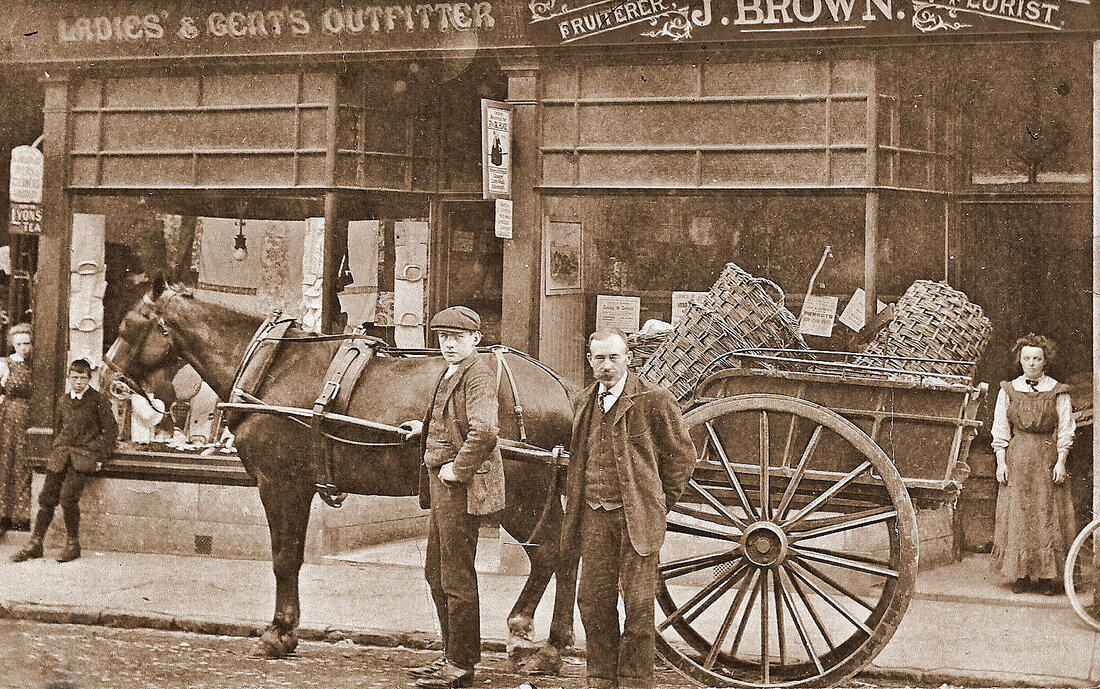
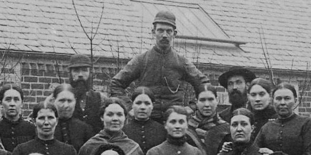
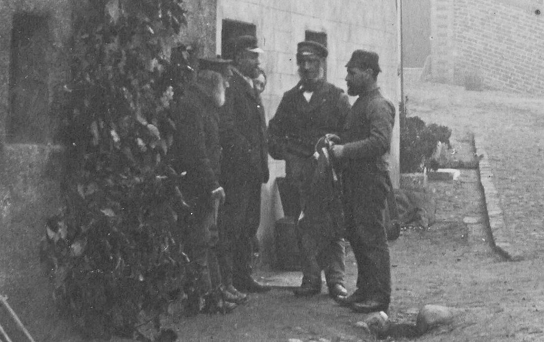
With many thanks to John Potter for sharing the above image of Thomas Potter.
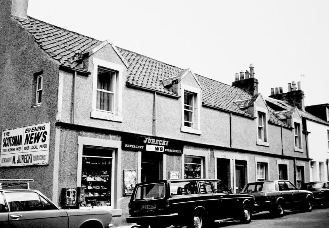
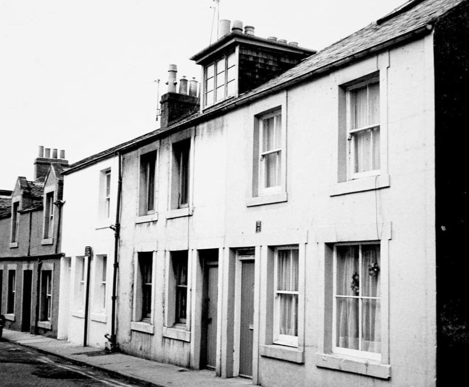
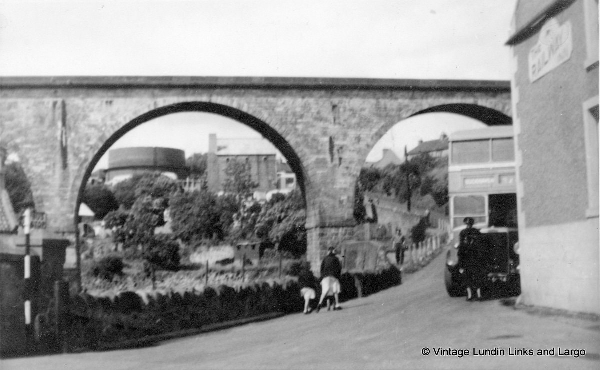
Images above and below date to mid 1970s, from Canmore Collection.
 RSS Feed
