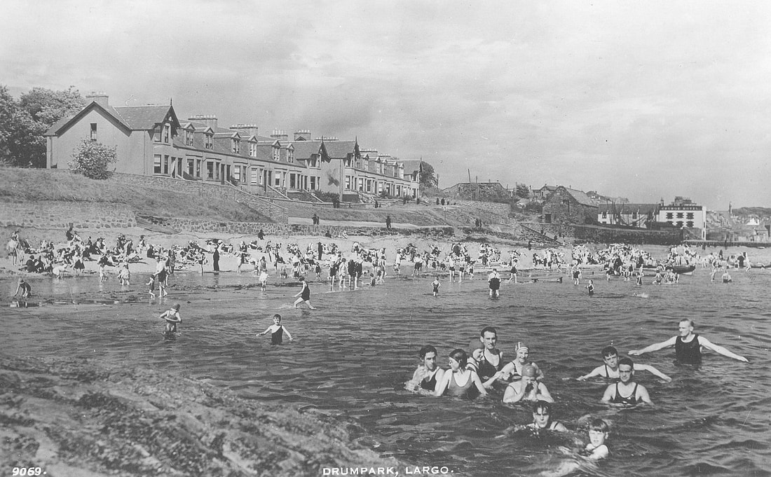
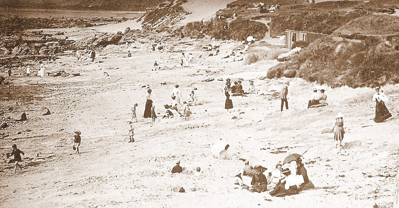
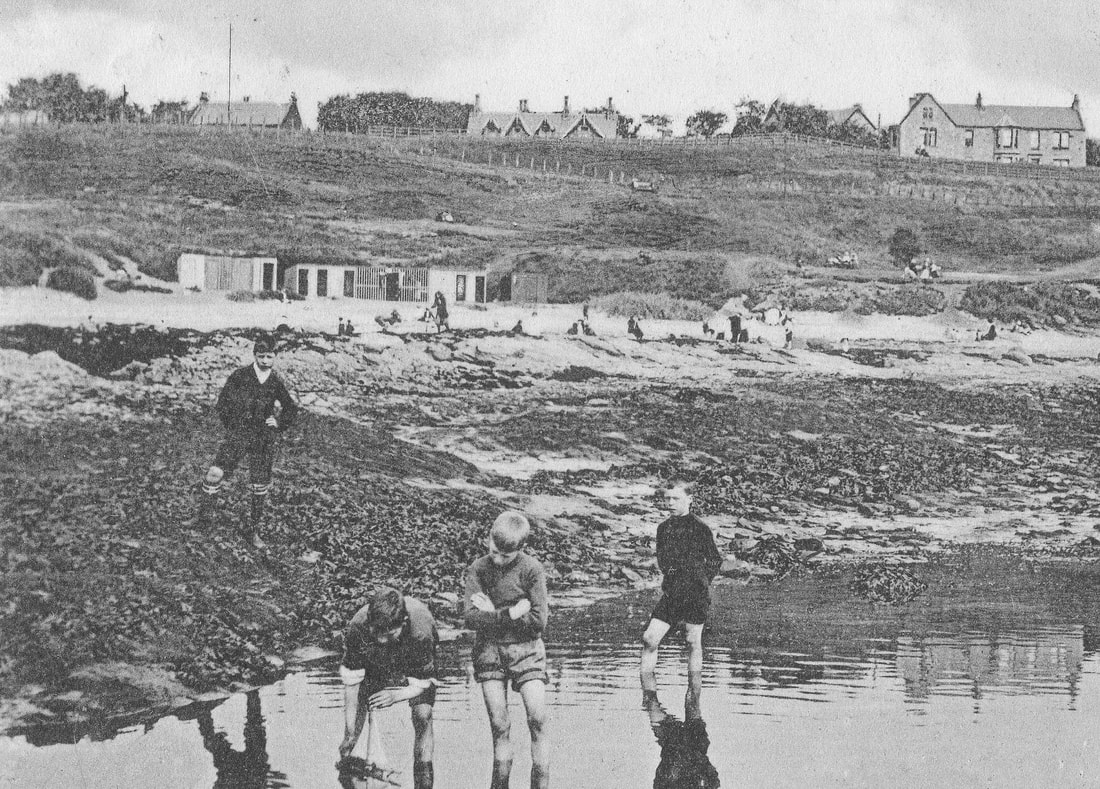
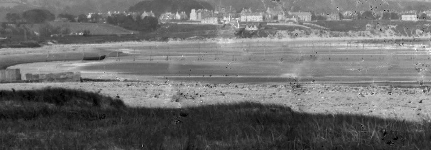
The scene of an incredibly busy beach in front of Drum Park in this 1930s postcard, exemplifies Largo's popularity as a summer destination during the interwar period. Literally hundreds of people are packed into this small area on a glorious day. Perhaps on this particular day a 'picnic party' had swollen the usual number of summer visitors. In the summer of 1933, for example, there were thirteen large picnic parties officially using the site adjacent to Massney Braes. By the 1936 season, there were bookings for every Saturday.
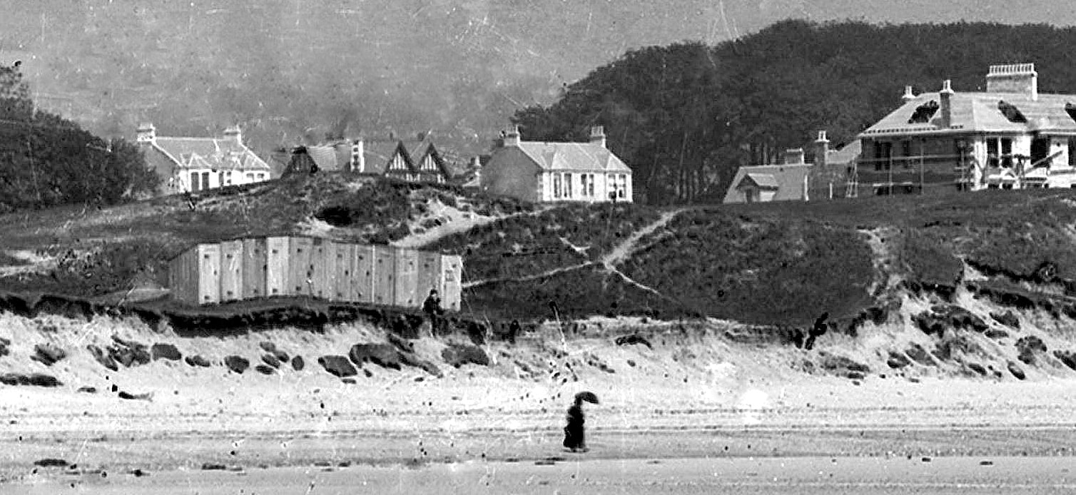
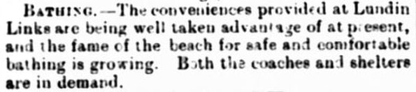
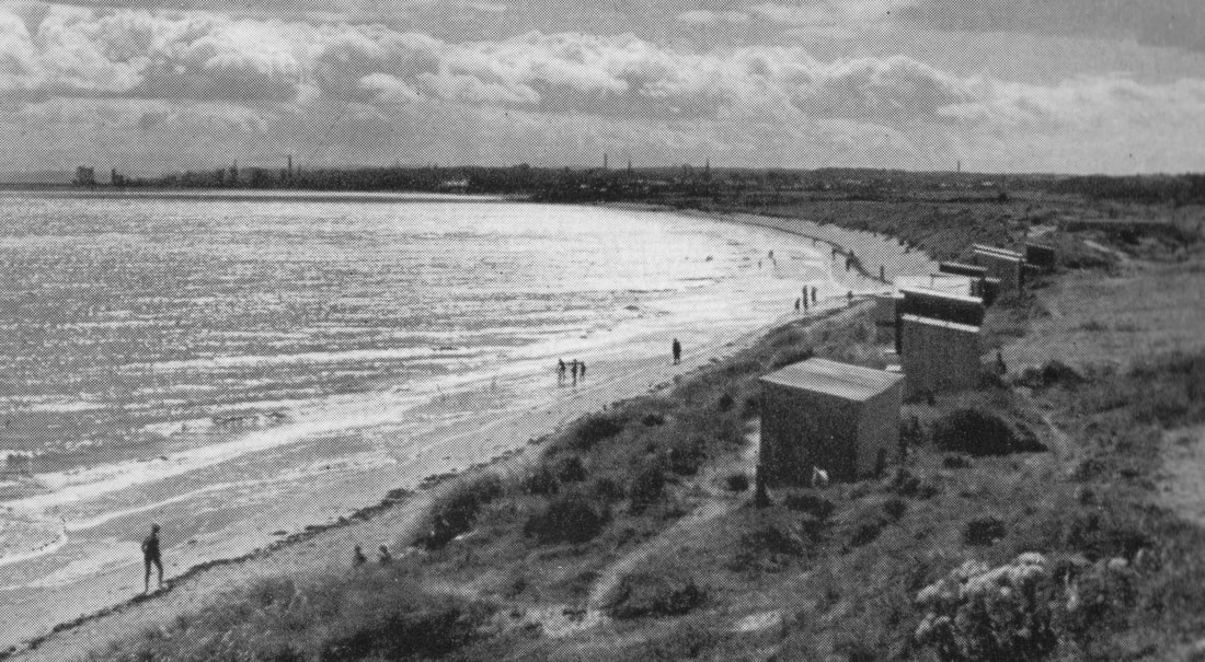
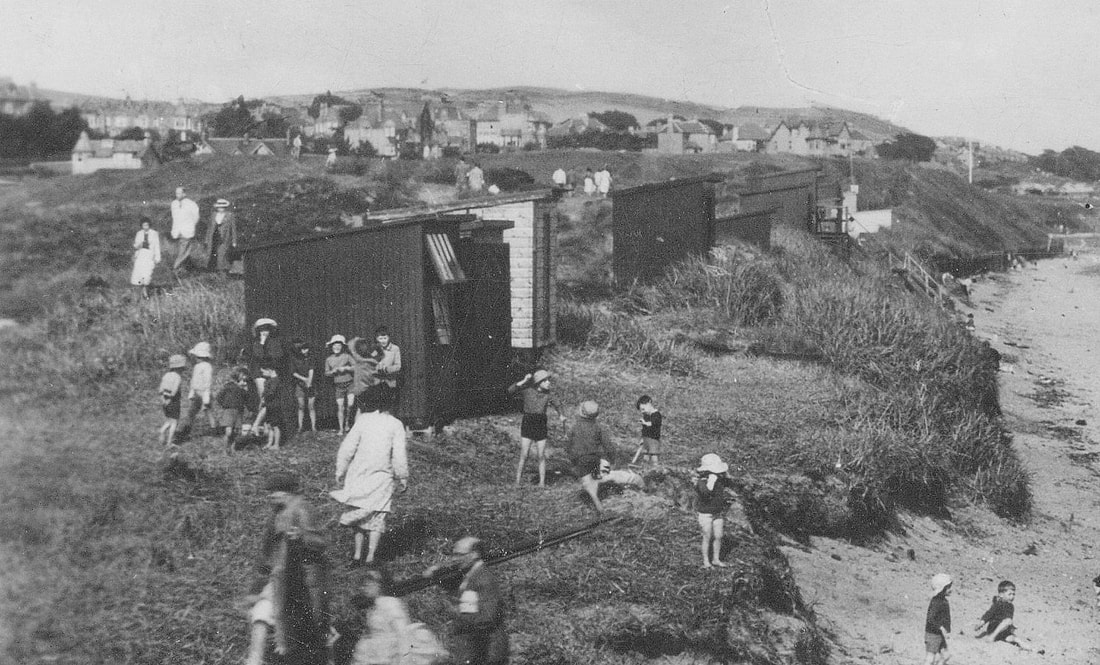
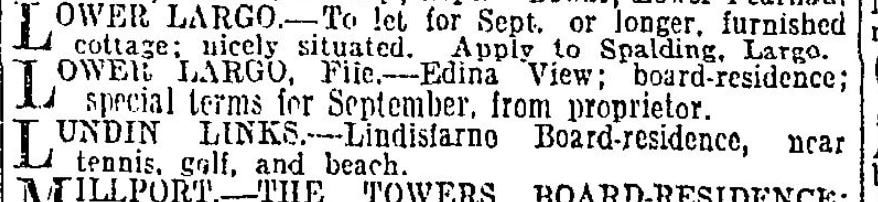
Local newspapers of the time noted that this stretch of coast "enjoyed a remarkable measure of popularity". This popularity was nurtured by the newly formed Largo Parish Community Council. Their programme of foreshore improvements included a "water supply, a convenient fireplace and a comfortable shelter" according to the 23 June 1936 Leven Advertiser piece, below. Other amenities added around this time included public conveniences, a drinking fountain, litter bins and a pitch for mobile refreshment vendors. Twelve new benches were also placed around the district in 1935.

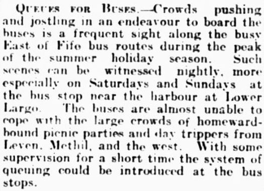
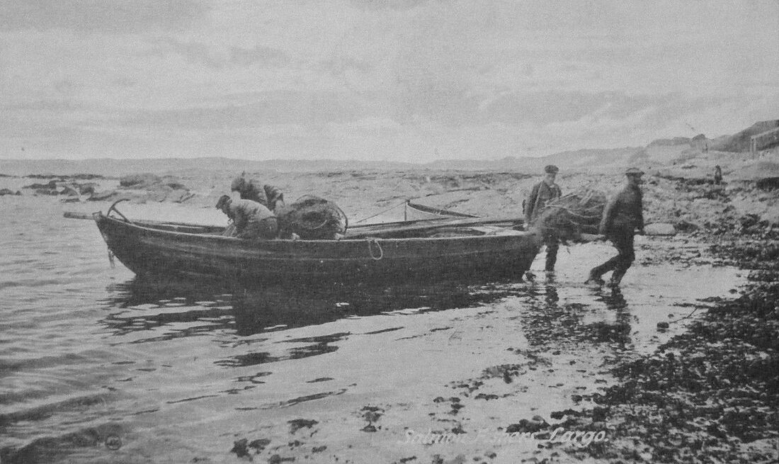
The 30 July 1935 Leven Advertiser snippet below highlighted how large crowds of day-trippers impacted upon local bus services. It would seem that the concept of queuing was unheard of at the time. Pushing and jostling was the norm - especially at Largo Harbour's bus stop - prompting calls for the supervised introduction of a queuing system!
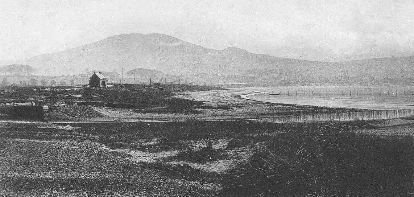
Such was the demand for leisure facilities that a longstanding desire for a swimming pool for the Parish was reinvigorated. Soon an engineer was consulted and a scheme devised which readily gathered momentum. The piece below from the 26 March 1935 Leven Advertiser confidently tells of how the scheme was "awaiting the consent of Sir John Gilmour".

A Largo Bay Bathing Pool Association was formed and, on 30 July 1935, a public meeting took place in the Temperance Hall. An update from the scheme's temporary committee was provided, a draft constitution adopted and office bearers appointed along with a management committee. Discussion also took place around the best means of raising the cost of the construction of the pool. Some fundraising activities were proposed along with a plan to encourage subscribers to pledge money for the scheme. However, as matters advanced it became clear that early quotes for the work had been unrealistic. The far higher investment needed to make the pool storm-proof led to the scheme being reluctantly dropped (see 18 February 1936 Dundee Evening Telegraph extract below).


 RSS Feed
