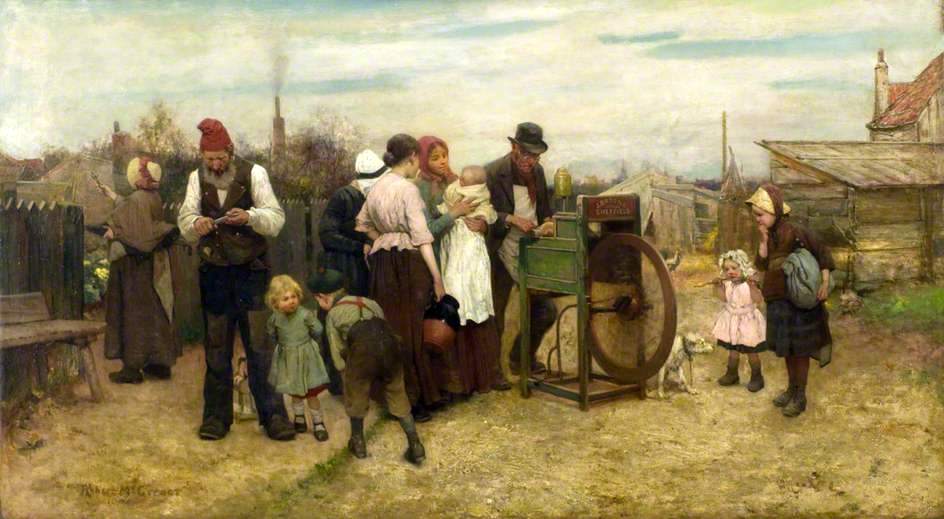
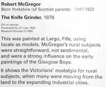
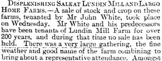
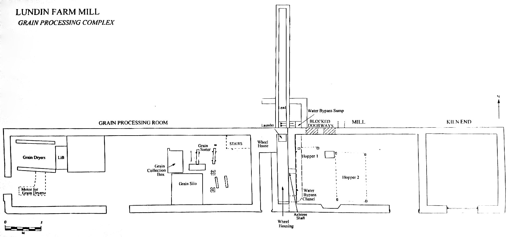
The 1878 oil painting above is by Robert McGregor (1847-1922) and is not only set in Largo but the painter used locals as models in this scene. The original hangs in the McManus Galleries in Dundee and is accompanied by the information below. It's interesting to see a Largo painting which is more focused on the people than the landscape. Featuring folk of all ages, the piece gives a great idea of how locals would have dressed at the time and shows the attraction of the visiting knife grinder.
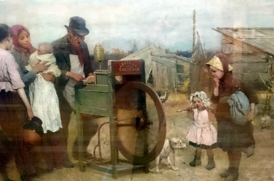
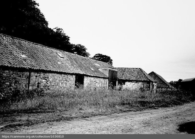
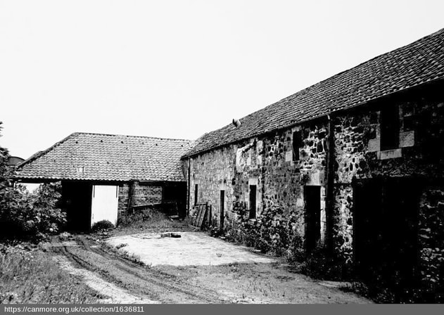
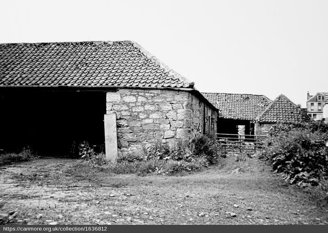
It's tricky to establish the precise location of the scene but the best clues are in the background. In the detail shown below, the spire of Largo Kirk is visible in the middle background and could that be Largo House to its left? If so, the location could be somewhere between the Main Street and South Feus, amongst the back gardens and outhouses. Alternative theories welcome!
Robert McGregor was born in 1847 in Bradford, Yorkshire, the son of a Scottish businessman who later relocated to Dunfermline and subsequently to Edinburgh. He frequently painted working men such as fishermen, shepherds, crofters, pedlars, and farm labourers. However he also painted Scottish, French and Dutch country and coastal scenery. He first exhibited at the Royal Scottish Academy in 1873 and was elected a member there in 1889. He exhibited at the RSA until 1914 and died in Edinburgh in 1922.
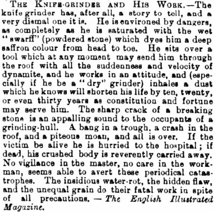
Incidentally, the life of the knife grinder was not an easy one, as the newspaper clipping below illustrates (Fife Herald 6 August 1884).
Incidentally, the life of the knife grinder was not an easy one, as the newspaper clipping below illustrates (Fife Herald 6 August 1884).
 RSS Feed
