
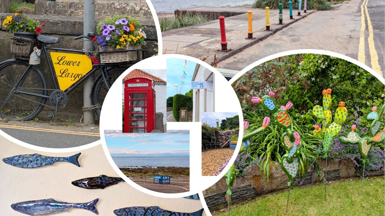
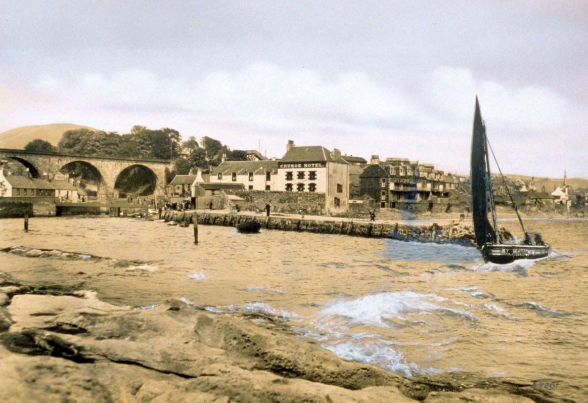
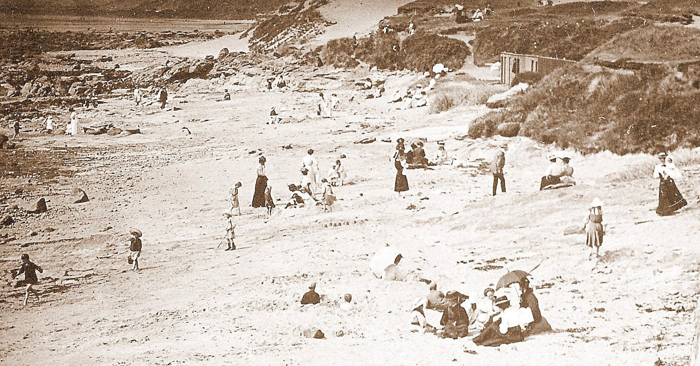
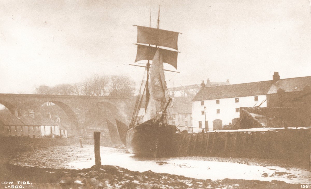
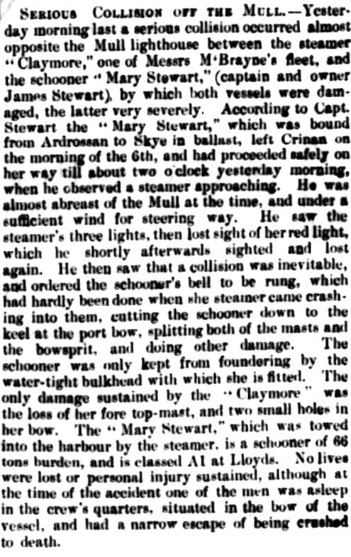
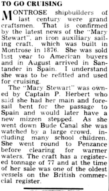
Largo Arts Week has recently completed its fifth run. Held over nine days 31-21 July 2024, the event showcased the work of more than fifty artists, provided a varied programme of bookable events (music, comedy, food, storytelling and more) and repeated its annual painting competition. All three villages were involved, with bunting adding to the colour of the summer blooms in the gardens, planters and roadsides. The week has evolved since its debut in 2019 and it was great to hear that visitors numbers were up this year.
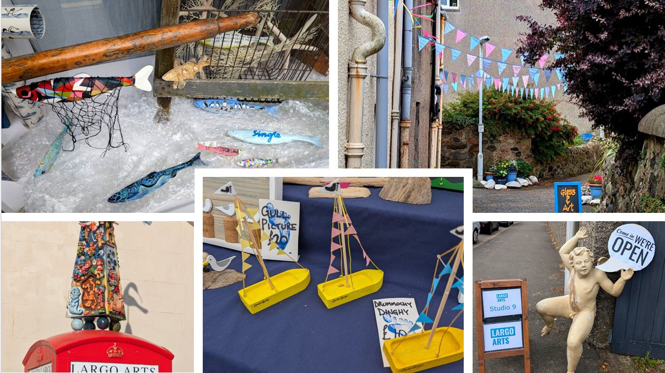
Many thanks to the organisers, the artists, the performers, other supporters and the visitors for making it a special occasion with a friendly atmosphere. For more information and news of next year's event - which will take place 12-20 July 2025 - keep an eye on the website www.largoartsweek.com.
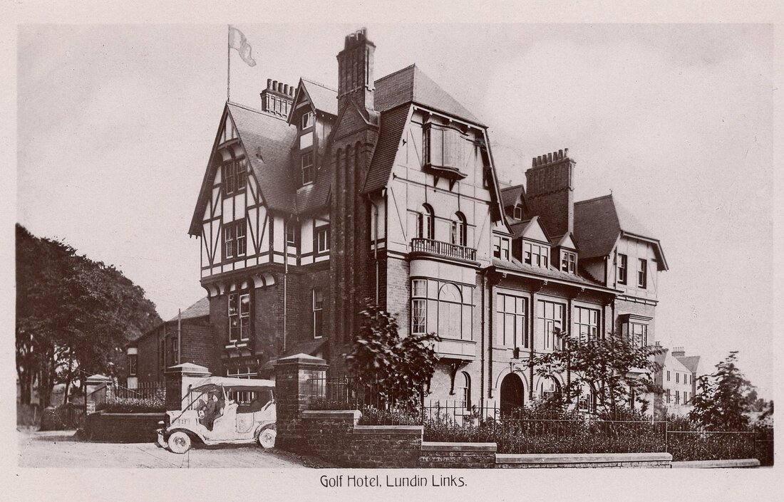
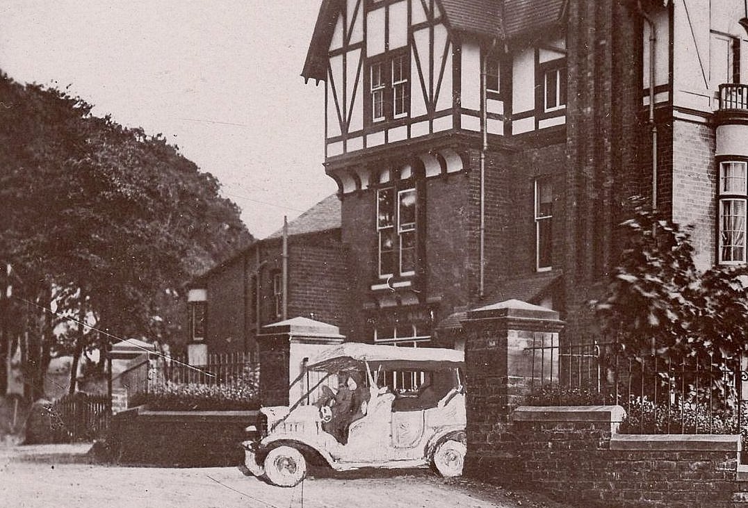
Some news that broke just before the start of this year's Arts Week was the welcome new chapter for the former Largo St David's Church on Lower Largo's Main Street. The building, pictured below, is to become a sister venture to the Aurrie (which is just across the road in the former Baptist Church building and opened in time for Arts Week 2021). To be known as The Aurrie Mor, plans are still in development but you can read a little more here:
https://www.theaurrie.com/mor.html.
No doubt by the time that Largo Arts Week 2025 rolls around, things will have progressed in leaps and bounds for Aurrie Mor.


 RSS Feed
