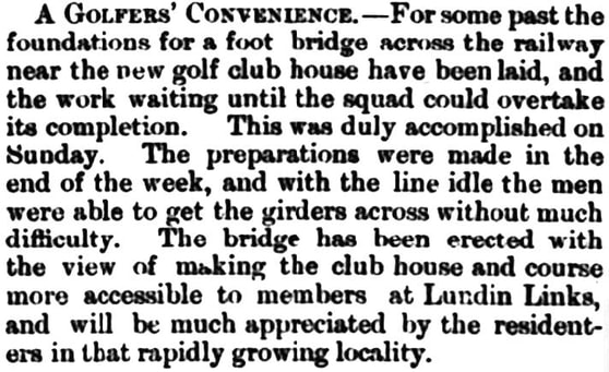
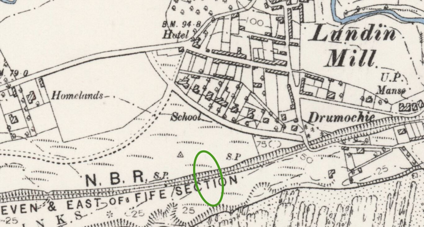
At the time, Lundin Mill only extended as far south as Crescent Road but feuing plans were underway to develop what would become Victoria Road and Station Road (now Links Road). The 1893 map below shows the spot chosen for the bridge. Handily placed for the residents of (and visitors to) Lundin Mill, Drummochy and Lower Largo, the feus around this area were soon occupied. Non-golfers obviously benefited too from the safer access to the beach.
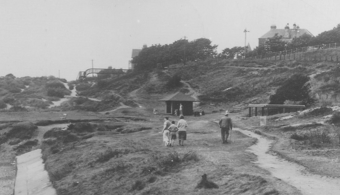
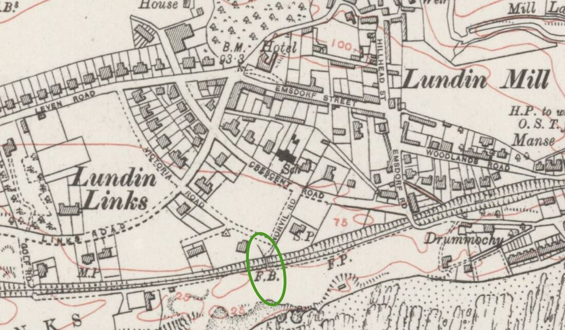
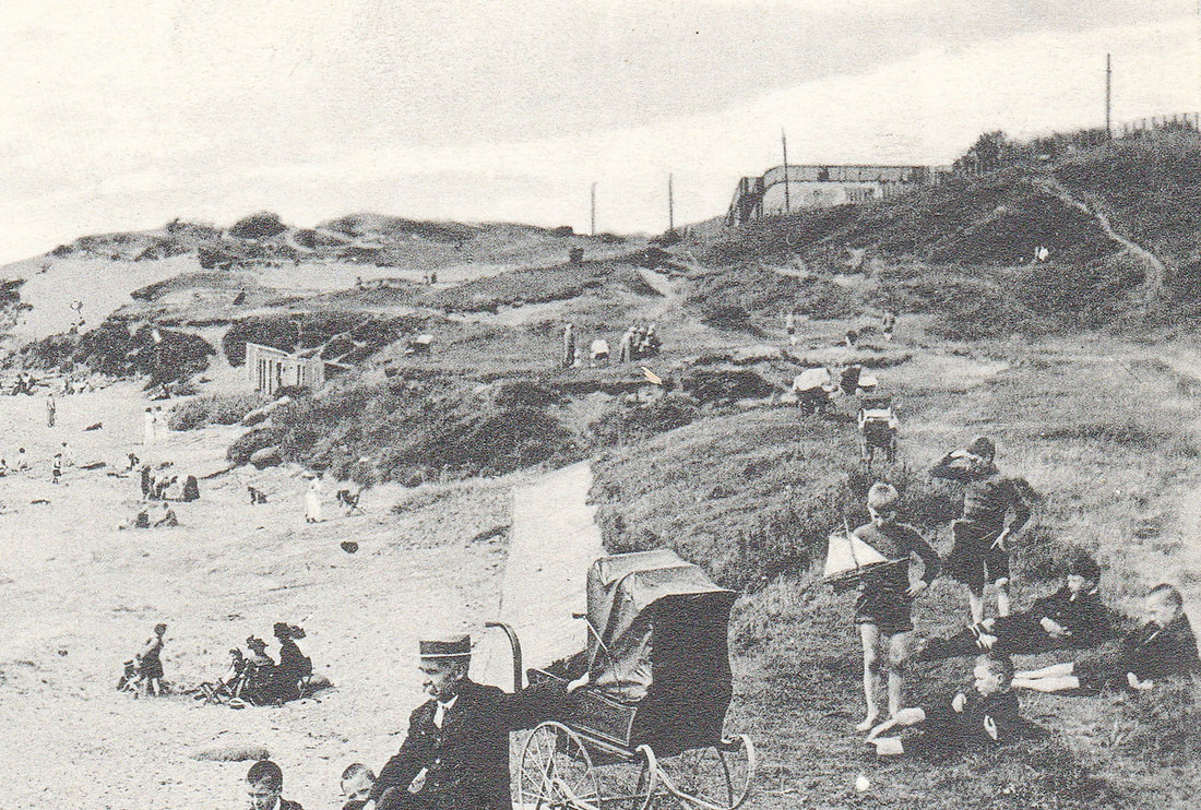
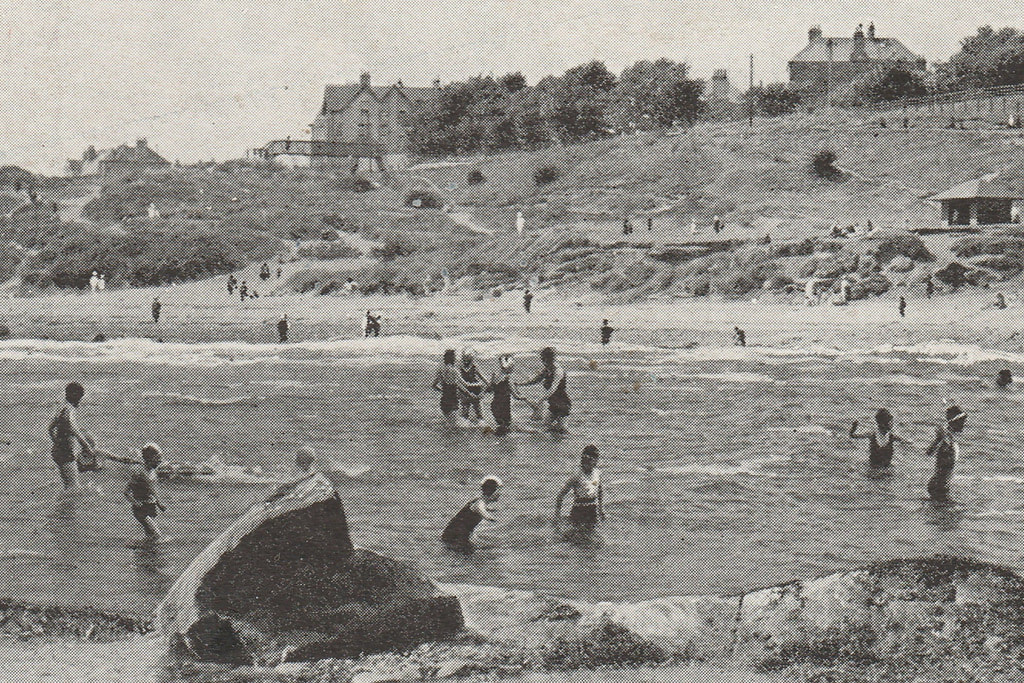
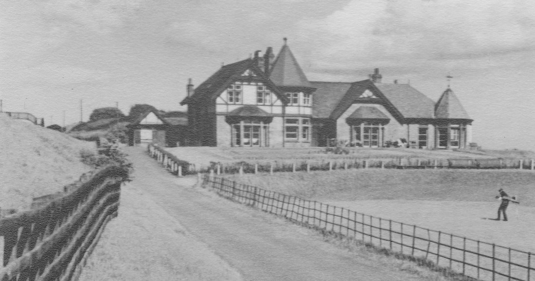
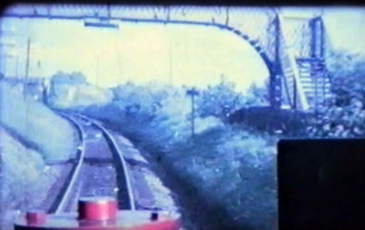
The 1912 map further below, shows the footbridge now situated between Norvil on the right and Victoria Boarding House to the left. Norvil in particular was planned and built just months after the footbridge was erected. This was probably no coincidence, as Norvil was built for seedsman William Watt - a keen golfer (more of that another time). Further below are a series of images featuring the iron bridge, including (at the very end) a still from cine footage taken from the train driver's cab shortly before the line closed in 1965, The road bridge at the top of Drummochy Road can be seen in the distance to the left. Sadly the footbridge was removed in the early 1970s but many still refer to the vicinity around the steps down to the path were it once stood as "the iron bridge".
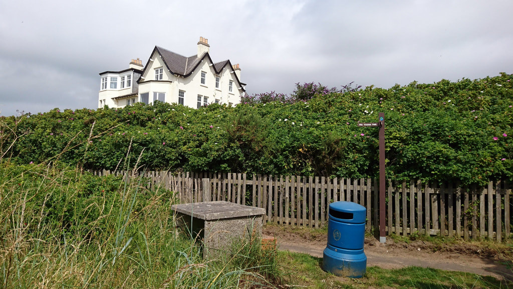
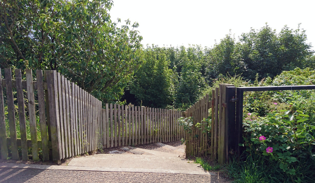
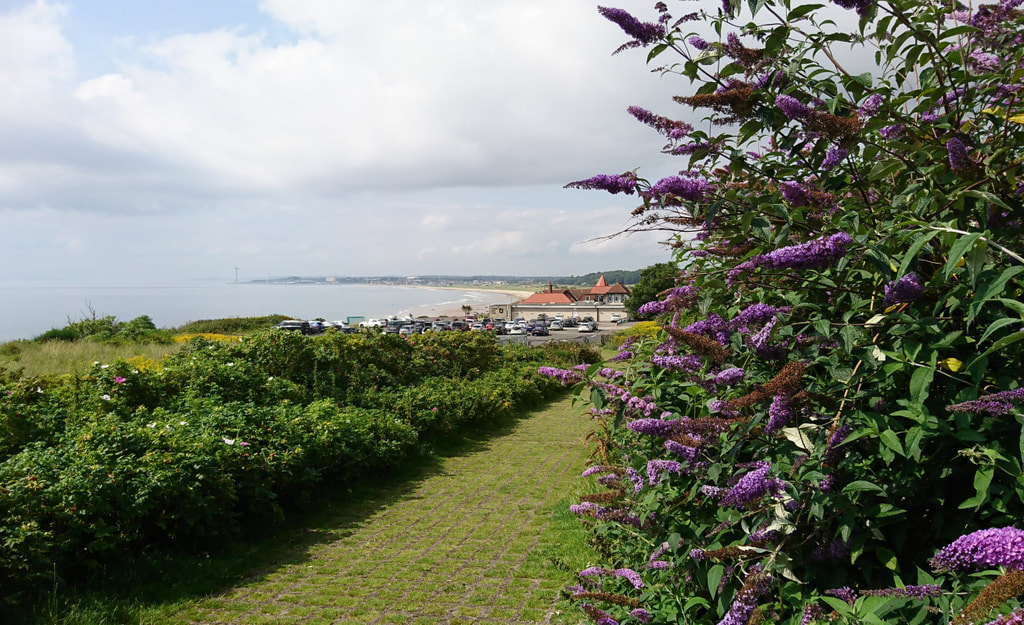
Finally, a few shots from the present day of the spot where the old bridge once stood.
 RSS Feed
