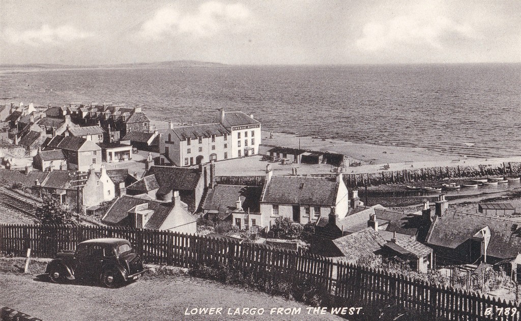
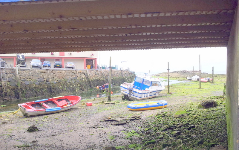
Although this photograph was taken from the end of Woodlands Road, it gives an impression of the glorious view that greeted visitors to Largo as they approached the viaduct and station. How many stations could have boasted such a magnificent approach? From this elevated position the passengers could view the sweeping curve of Largo Bay, the pier with several boats bobbing around, the Crusoe Hotel in the centre at its beach-front location and the houses of Drummochy.
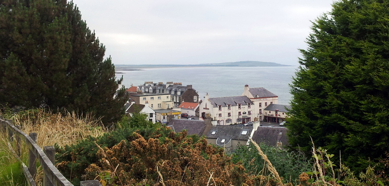
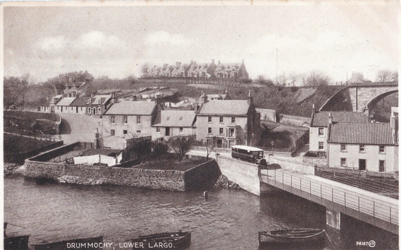
In this 1940s postcard image the railway line runs just behind the fence in the foreground. In between the Crusoe Hotel and the Railway Inn was a popular cafe (now a convenience store). The row of 3 storey dark-coloured buildings to the left of the Crusoe Hotel on the shore was called Edina View. The station itself lived up to its surroundings - regularly winning 'best-kept station' awards. These days the same view is a little less open - as the path of the dismantled railway line is quite overgrown - nevertheless it's still a lovely vista.
In this 1940s postcard image the railway line runs just behind the fence in the foreground. In between the Crusoe Hotel and the Railway Inn was a popular cafe (now a convenience store). The row of 3 storey dark-coloured buildings to the left of the Crusoe Hotel on the shore was called Edina View. The station itself lived up to its surroundings - regularly winning 'best-kept station' awards. These days the same view is a little less open - as the path of the dismantled railway line is quite overgrown - nevertheless it's still a lovely vista.
 RSS Feed
