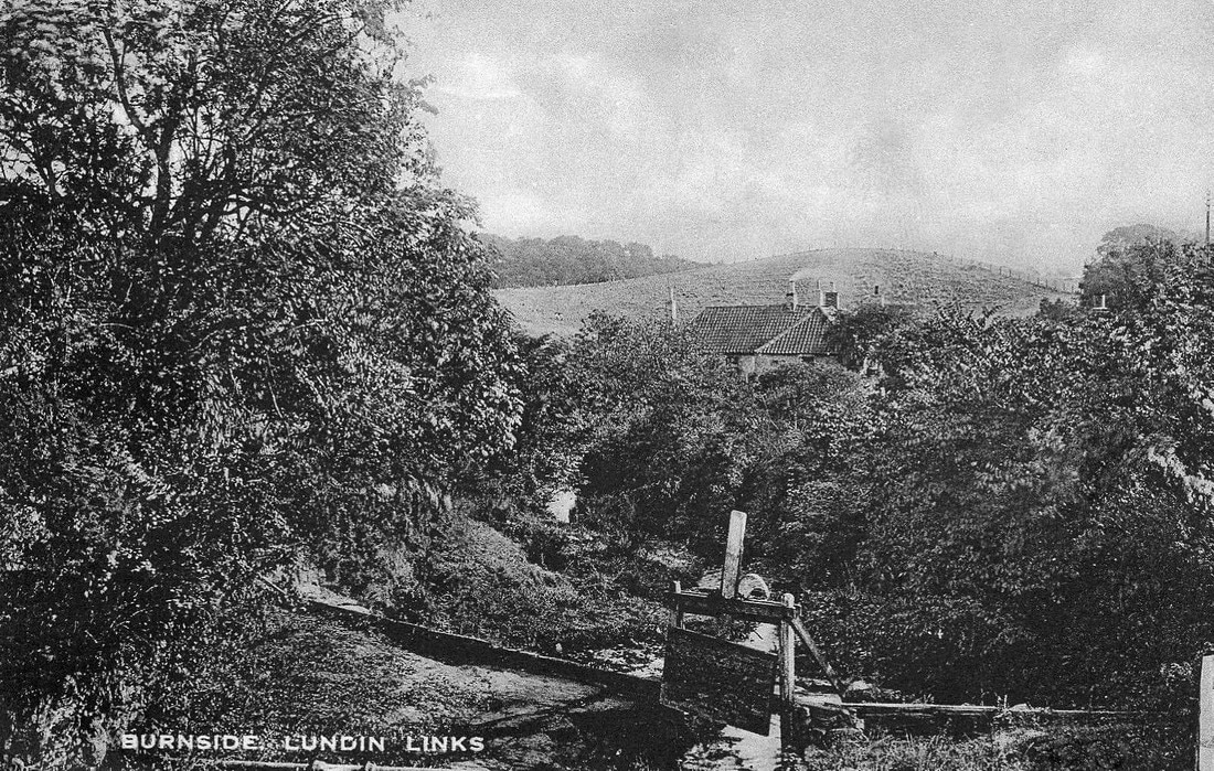
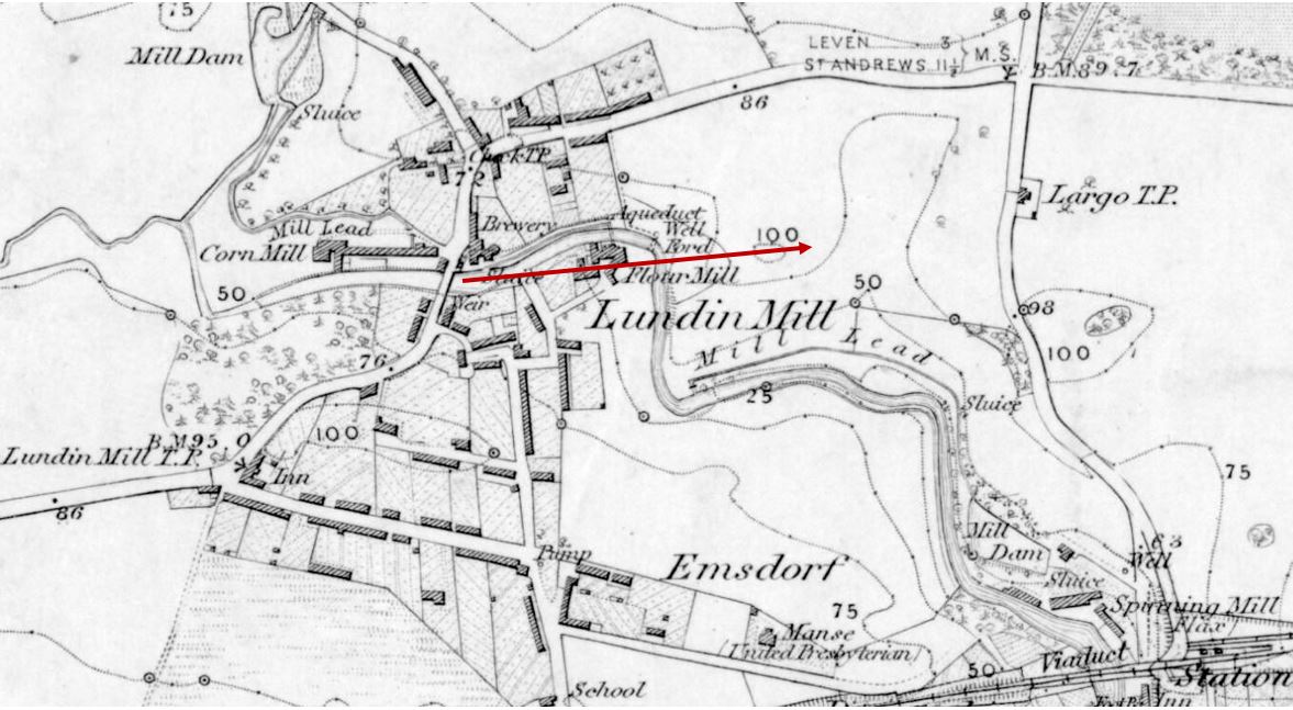
This unusual postcard view features a sluice gate in the foreground and a lot of vegetation. Probably the main point of interest is the partially obscured building in the middle distance, which is the flour mill. Beyond that is an elevated piece of farmland. The picture was taken from the bridge over the Keil Burn at the beginning of Largo Road, Lundin Links. The map below shows the direction that the photographer was looking in.
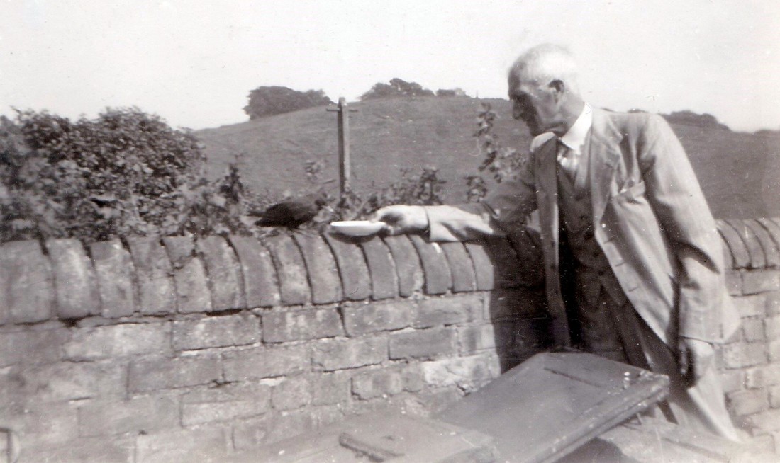
The image and map below show another view of the little hill, from a different angle - both dating from the 1940s. This time the photographer is standing in the garden of the cottage which sits behind what was once the Cottage Tearoom. This open ground is now the Keilburn and Toll Court housing estate. The blue arrow on the map marks the general angle at which this image was captured.
 RSS Feed
