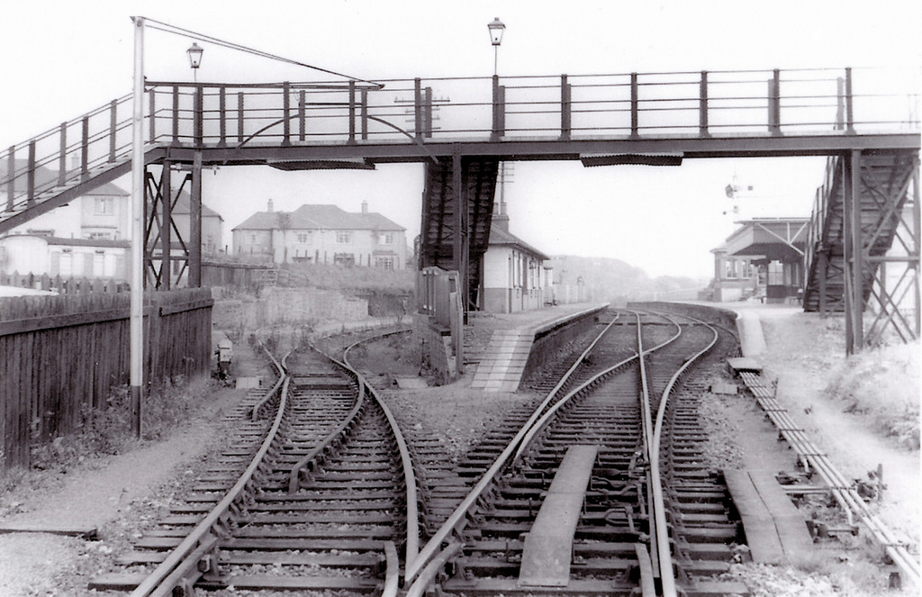
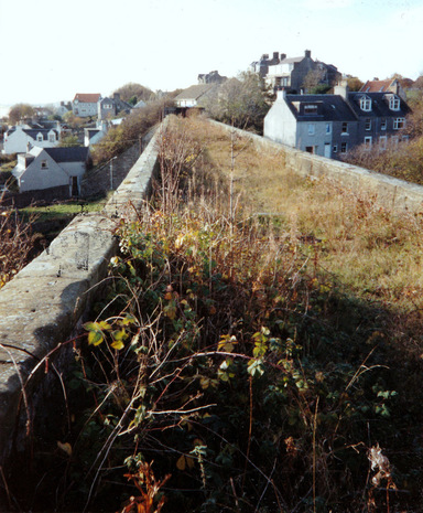
A pair of railway stations shots today. Above is an unusual view of Largo Station. The photographer would have had their back to the viaduct and is looking down the track as it splits. The main track is on the right and the sidings to the left. The passing loop was added to Largo Station in 1894. Houses of Station Park are seen in the distance on the left side of the station buildings. The footbridge over the tracks is a more modern-looking one that that seen in many old station images.
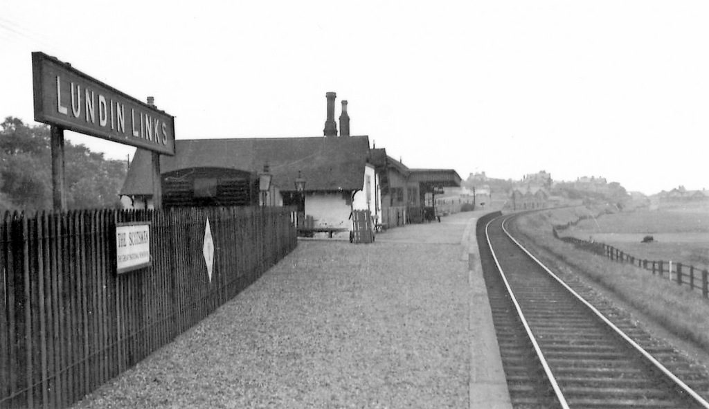
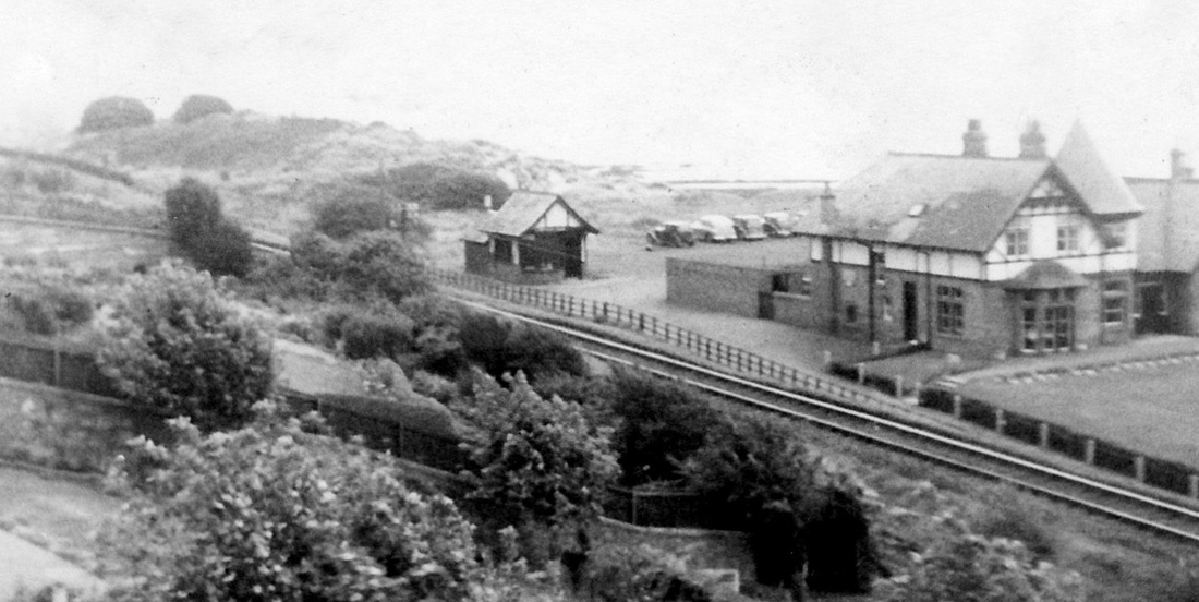
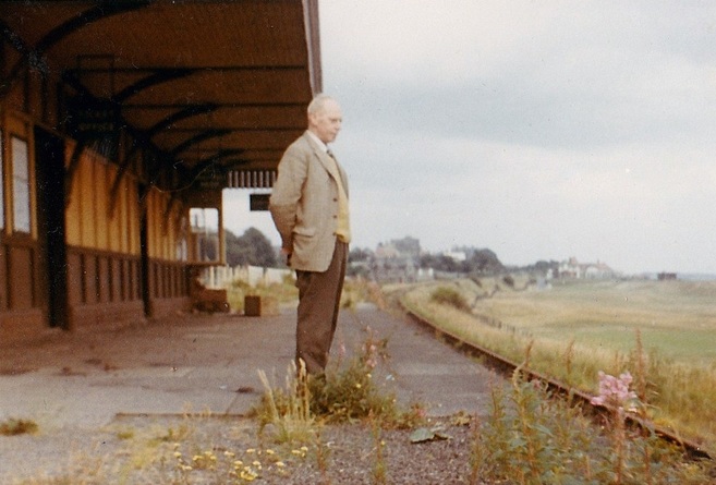
Below is Lundin Links Station, looking east down the line that leads to Largo. An advert for 'The Scotsman' can be seen under the large 'Lundin Links' sign. Neither image is dated but I would assume these date to the final few years of the railway era in Largo.
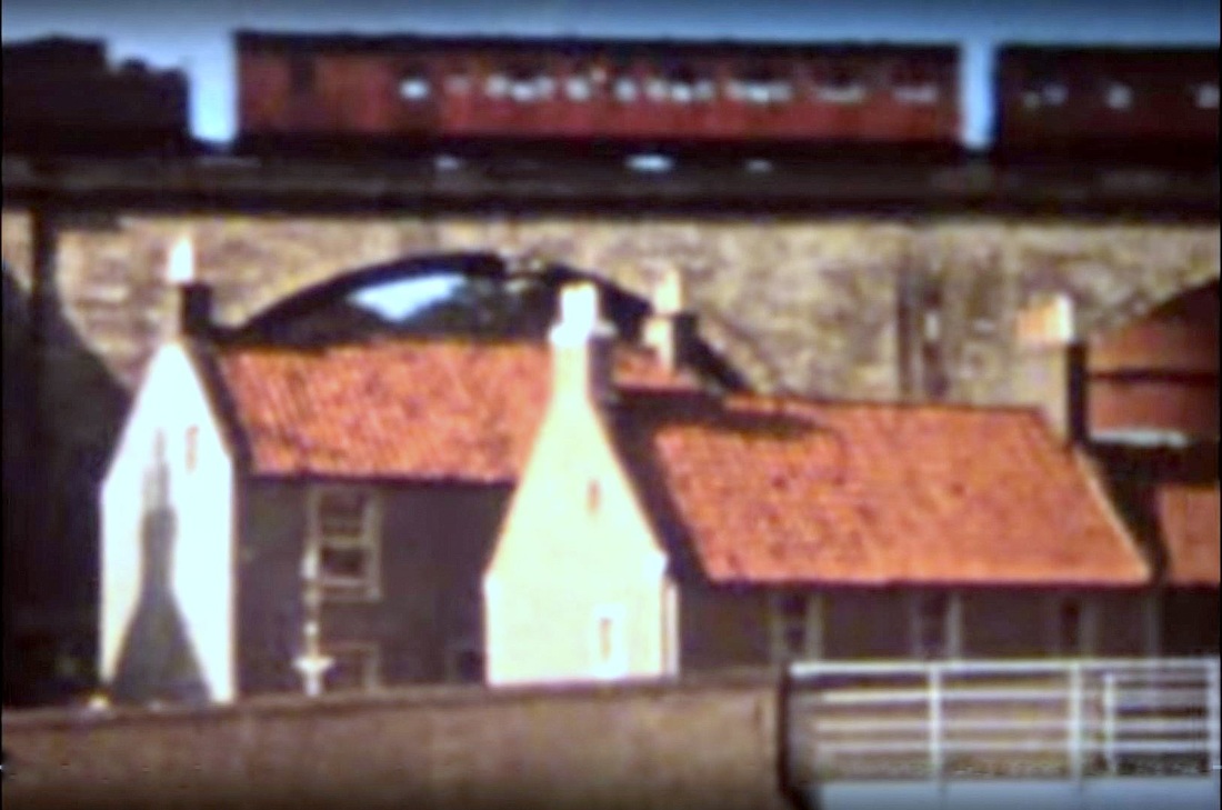
Below is Lundin Links Station, looking east down the line that leads to Largo. An advert for 'The Scotsman' can be seen under the large 'Lundin Links' sign. Neither image is dated but I would assume these date to the final few years of the railway era in Largo.
 RSS Feed
