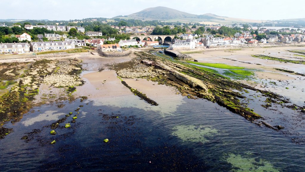
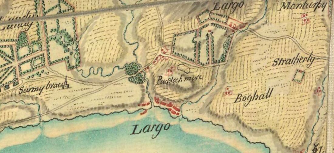
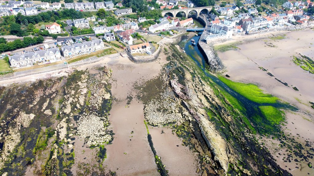
The "Port of Drummochie" was once of greater importance than the harbour we now know as Largo Harbour. Located in the above aerial image to the left of the Lundie Rocks (the natural strata seen in front of the viaduct), the remnants of this former port or harbour can still be made out, at low tide, as distinct bands of rubble. The circa 1750 Roy Military Survey of Scotland map (below) clearly indicates the symbol for a harbour or port to the west side of the point where the Keil Burn flows into Largo Bay. It was here - on the Drummochy side of the burn - where three salt pans also once operated.
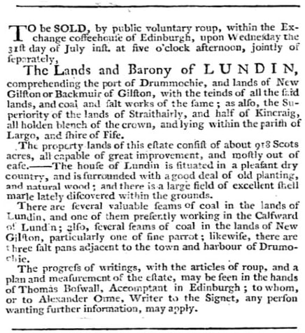
The advert below from 1 July 1771 Caledonian Mercury mentions the "port" right at the start of the description of the Lundin estate, emphasising its importance and later notes that there were "three salt pans adjacent". A similar advert from 1773 elaborates on the description of the harbour at Drummochie, stating that it "is of easy approach and can be made capable of receiving ships of considerable burden at moderate expense".
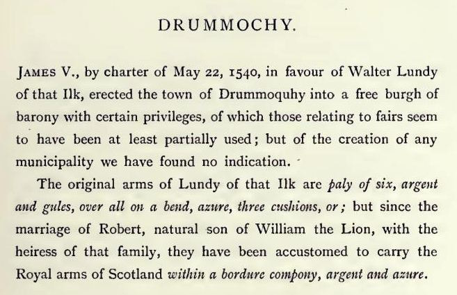
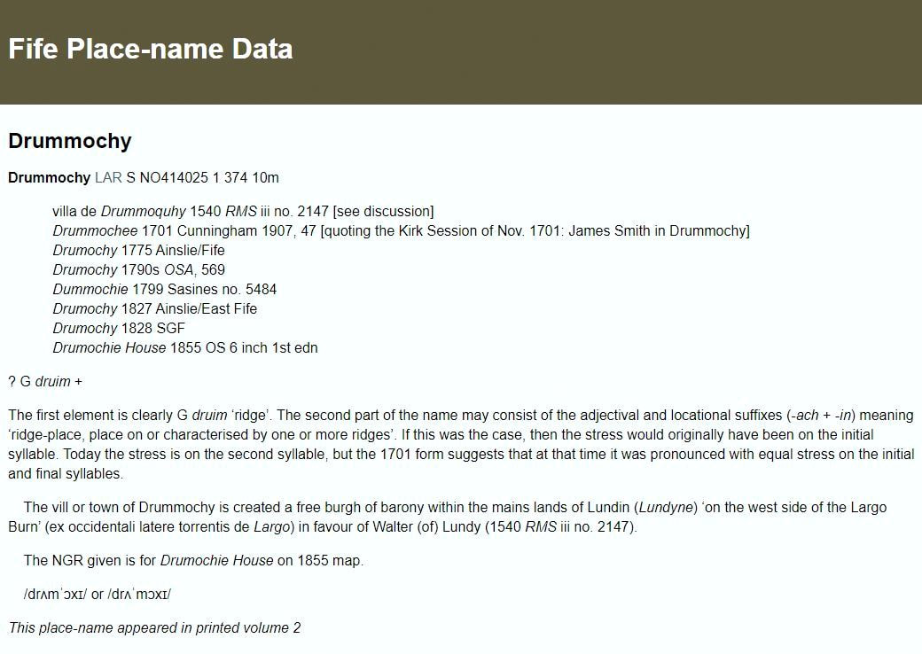
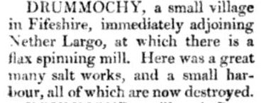
Drummochie or Drummochy has had several different spellings over time. It was made a free burgh of barony in 1540 and was then known as Drummoquhy, according to the above extract from the 'The Arms of the Baronial and Police Burghs of Scotland' (1903). Below is the 'Place Name Data' for Drummochy and further below is a piece from 1819 Topographical Dictionary of Scotland stating that, by then, the harbour at Drummochy (and salt works) had been "destroyed".
The demise of the harbour at Drummochy was linked with the end of the salt industry at the site. The 4 September 1784 Caledonian Mercury notice below shows that the three salt pans themselves were put up for sale along with coal fire engine. This sale (four decades after the start of the salt works at Drummochy) was overseen by Ebenezer Coutts, the bailie who lived at what is now Drum Lodge. The loss of the salt industry, plus the existence of the more natural Largo Harbour adjacent, must have meant there was no incentive to maintain the manmade harbour of Drummochy.
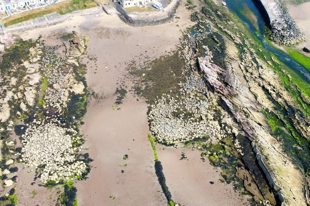
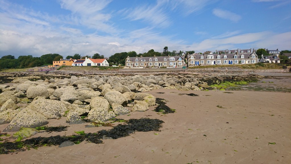
Below are two more aerial images and a view from the ground of the remnants of Drummochy Harbour. Note the two significant areas of boulders, although no doubt many parts of the original harbour structure have long since been reused for other construction purposes. While it's great that some physical evidence of the old port remains today, it would be good to unearth more written information about the harbour in its working days. If you have any information about the former Drummochy Harbour, please comment.

 RSS Feed
