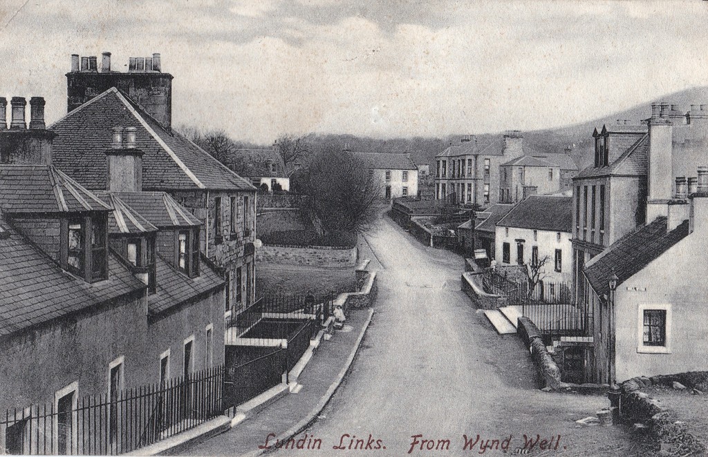
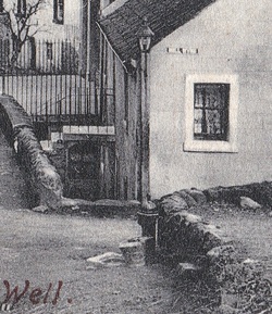
The postcard view above has the junction of Largo Road and Mill Wynd in the foreground and is described as 'Lundin Links from Wynd Well'. The well or water pump is visible against the wall at the start of Mill Wynd in the lower right (and enlarged in the cropped image). I wonder when this was removed. I guess it might be a bit dangerous to draw your water from this location nowadays given the heavy traffic on this road and the blind steep corner!
I'm curious about how many other wells there were in the village and where they were located. A research task for another day. If you know more about local wells and water pumps, please comment.
I'm curious about how many other wells there were in the village and where they were located. A research task for another day. If you know more about local wells and water pumps, please comment.
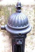
The water pump shown at the corner of Mill Wynd looks as though it was an example of a typical Victorian iron water pump decorated with a lion's head (see example). These could be found up and down the country and a few still exist today and are being carefully conserved.
 RSS Feed
