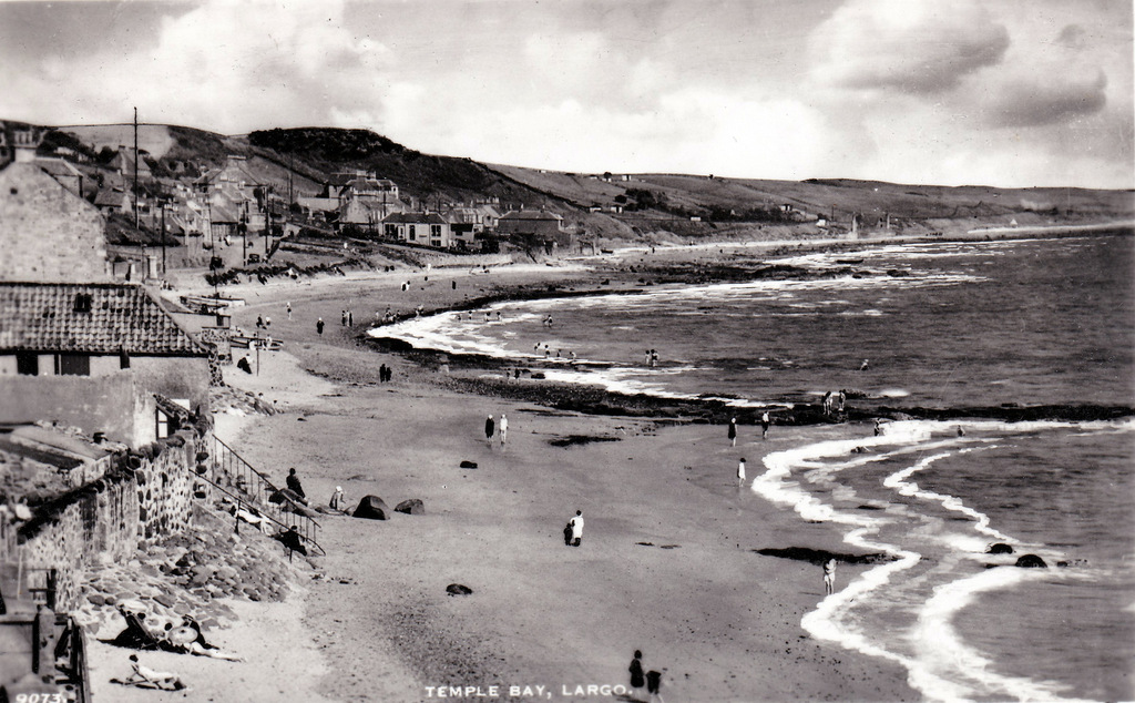
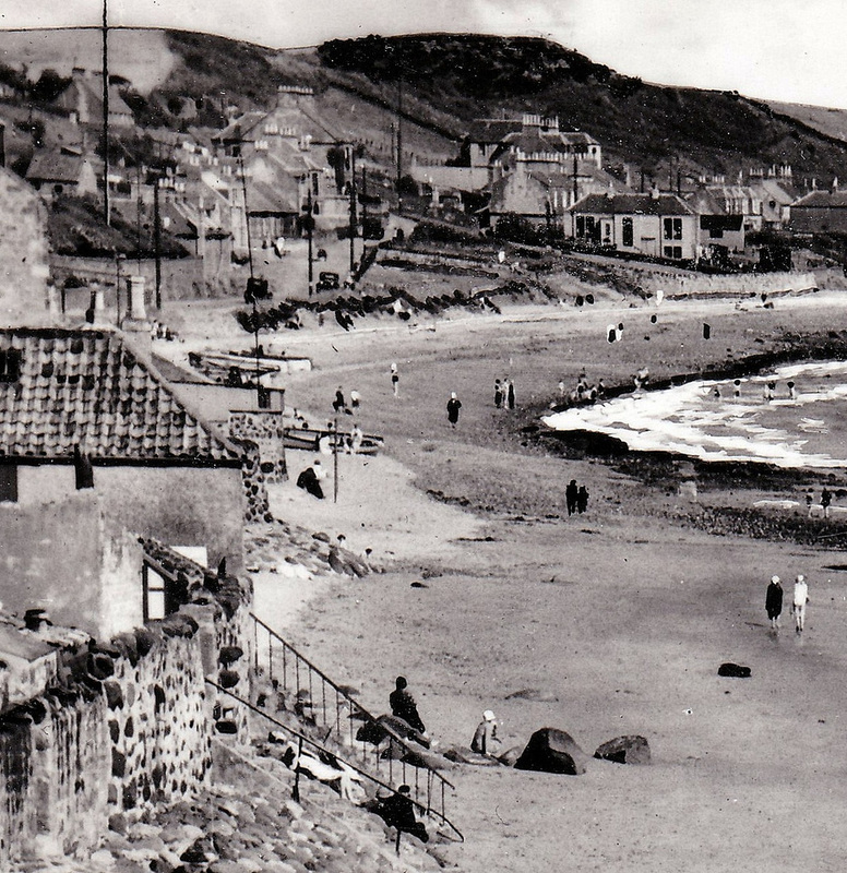
The above postcard image shows a busy beach scene looking from close to The Orry at Lower Largo towards The Temple. Zooming in a little (see below), the left-hand-side of the image shows a beach busy with bathers. However, on the right-hand-side between the end of The Temple and Viewforth some unusual hut-like structures can be seen scattered about the slope above the railway line. They appear again in a similar postcard scene shown further below. What are these? Read on below for my theory.
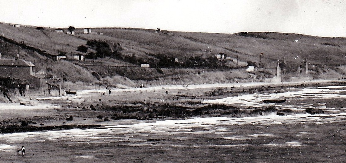
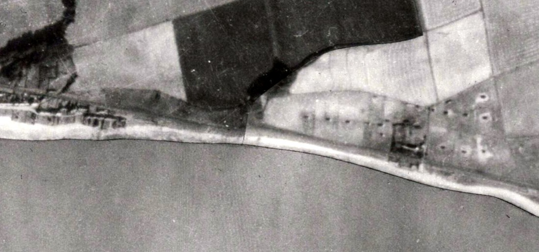
The above images date from around the 1940s and so I wonder whether these are war-time related buildings. Perhaps poultry sheds to bolster the supplies of meat and eggs? Or sheds to house some other livestock? Maybe they were there for longer than just the duration of the war? Another view of these structures can be seen in the 1944 aerial photograph below (on the right surrounding the Viewforth buildings). It shows about a dozen of the sheds - many with worn ground immediately around them. If you can confirm what these were or have further information - please comment.
 RSS Feed
