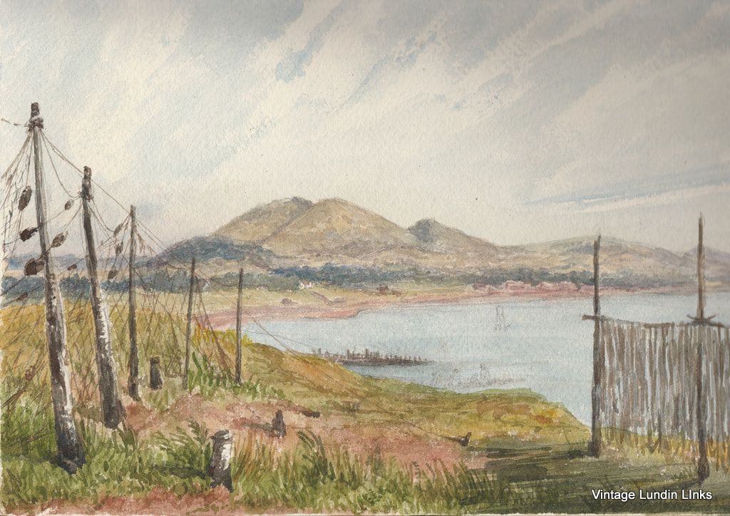
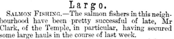
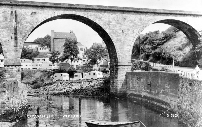
Largo Bay and its towns and villages have been captured by many an artist over the years. Discovering an old painting of the area is always fascinating, particularly if its old enough to include features that are long gone. The above watercolour is taken from just outside Leven, looking east to Largo Law and Lundin Links. A very familiar view but this time framed by the drying fishing nets. Dating to the late nineteenth century, this was a time when salmon net fishing was carried on in the bay. The nets extended from the shore far into the sea on stakes. By all accounts the fortunes of the salmon fishermen fluctuated widely over the years. However, 1870 seems to have been a good year as the 14 July Fife Herald notes below.
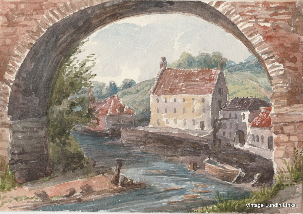
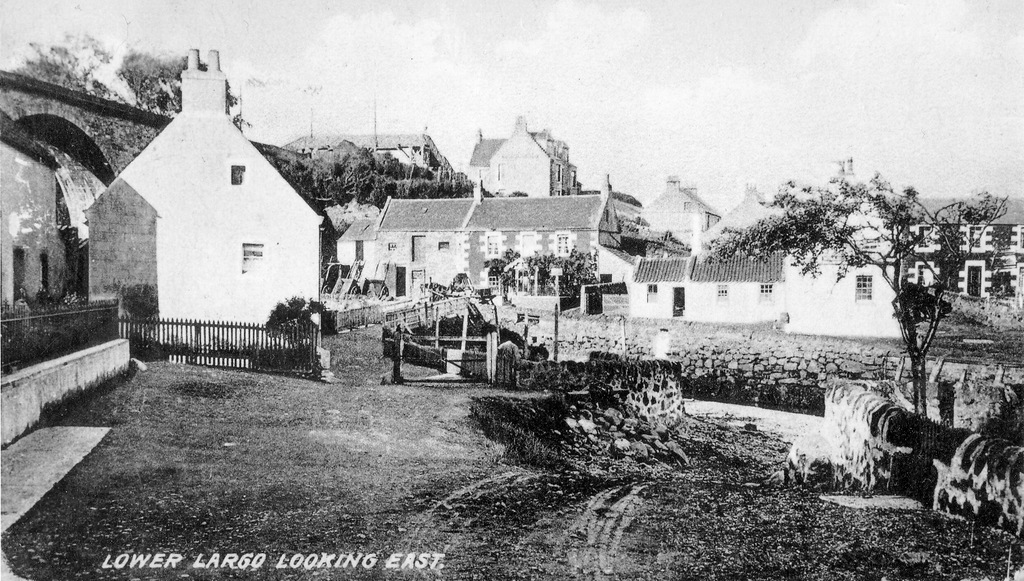
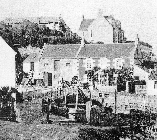
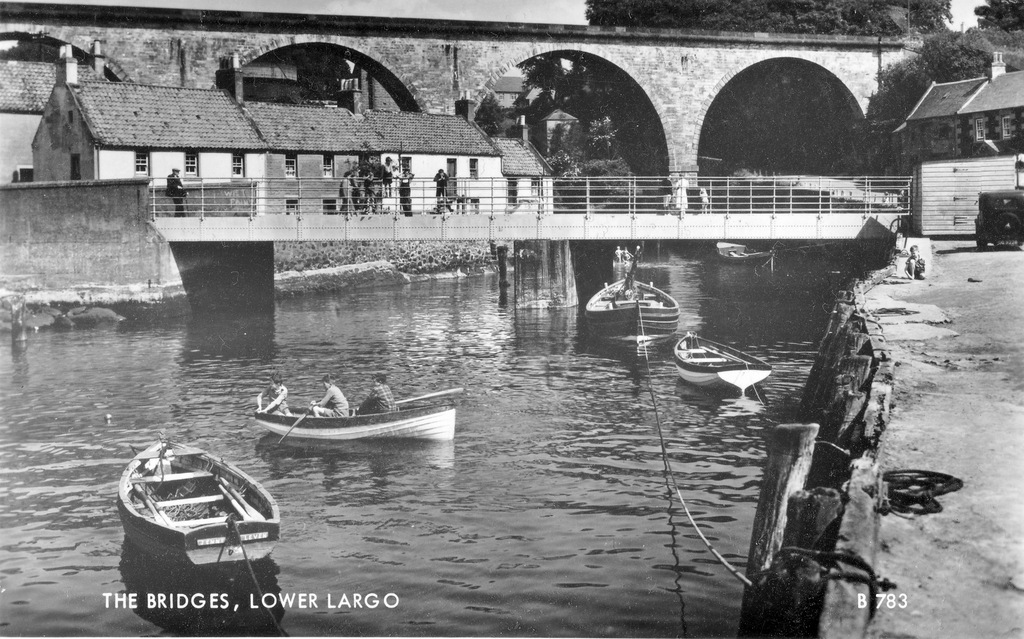
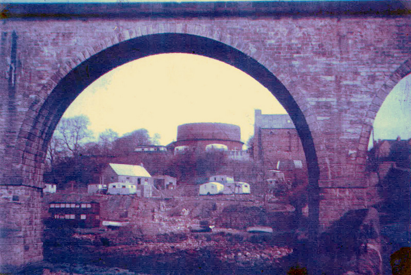
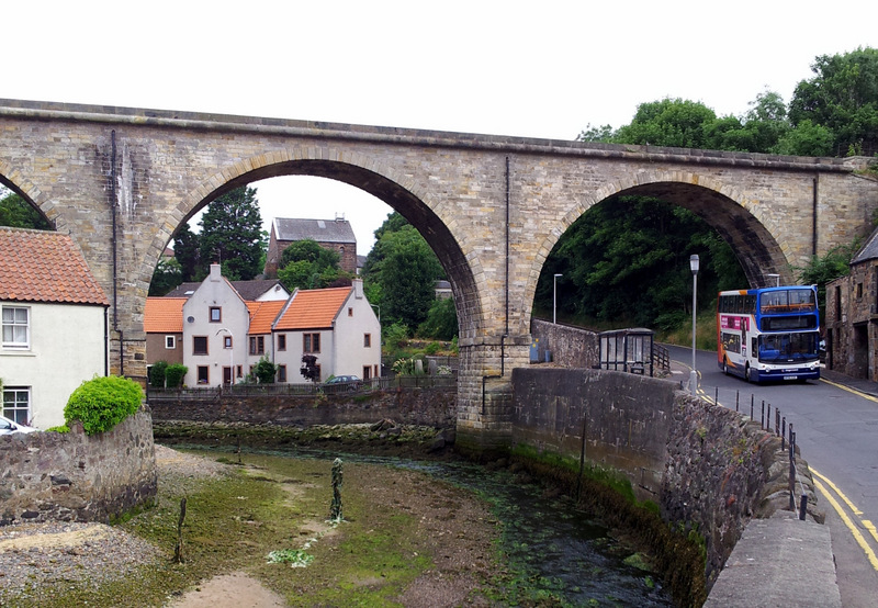
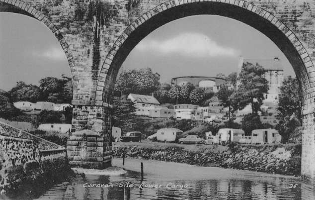
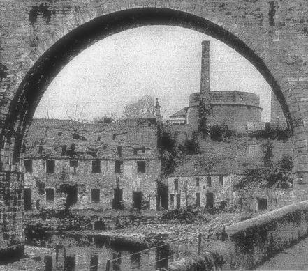
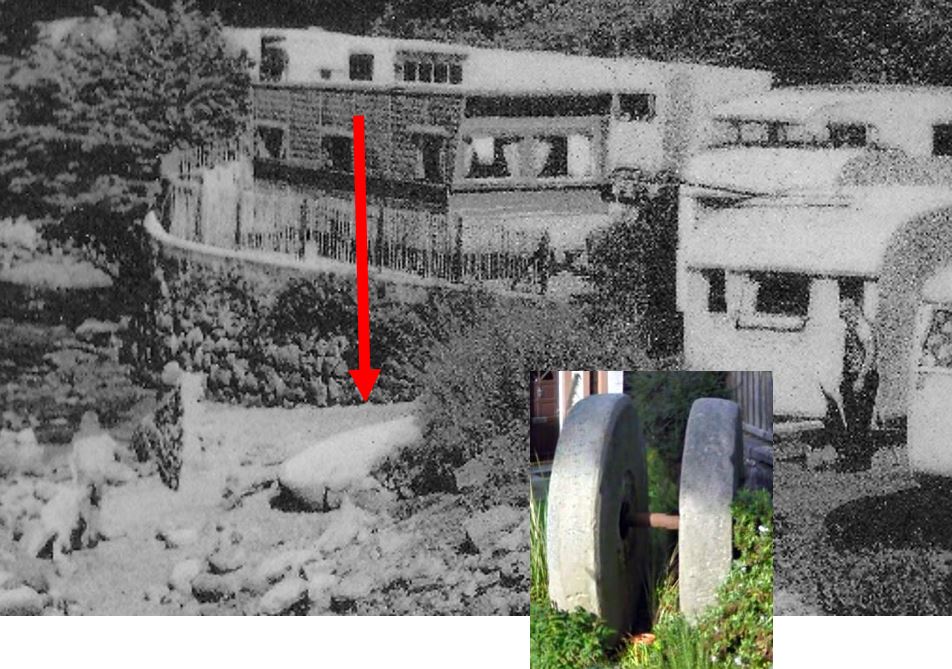
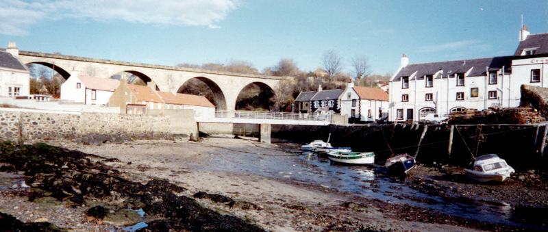
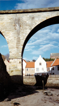
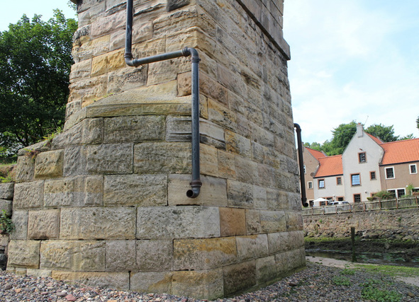
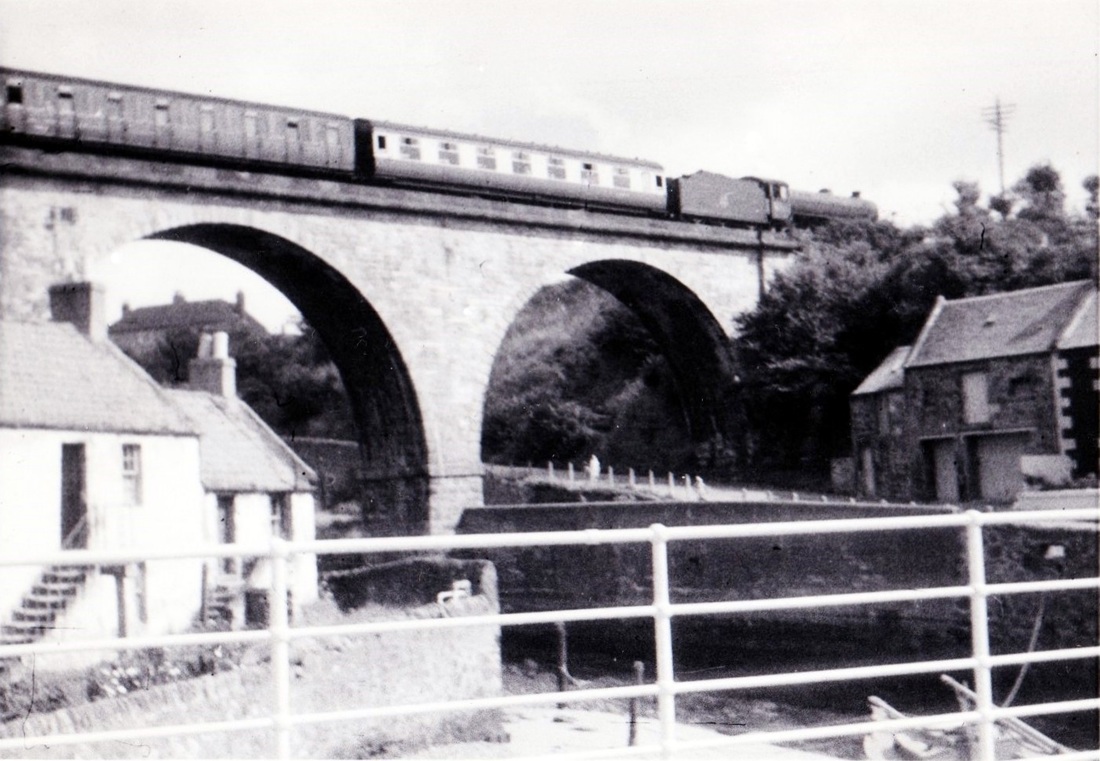
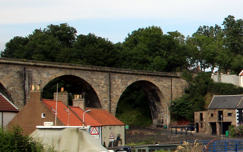
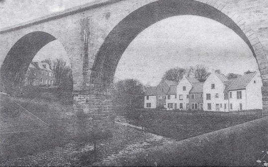
The second painting below - by the same unknown artist - features the old mill at Lower Largo, framed by an arch of the viaduct. A degree of artistic license has been used here, as there were actually two, rather than three, rows of windows on the main building. However, it captures the essence of the site as it used to be.


 RSS Feed
