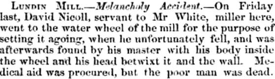
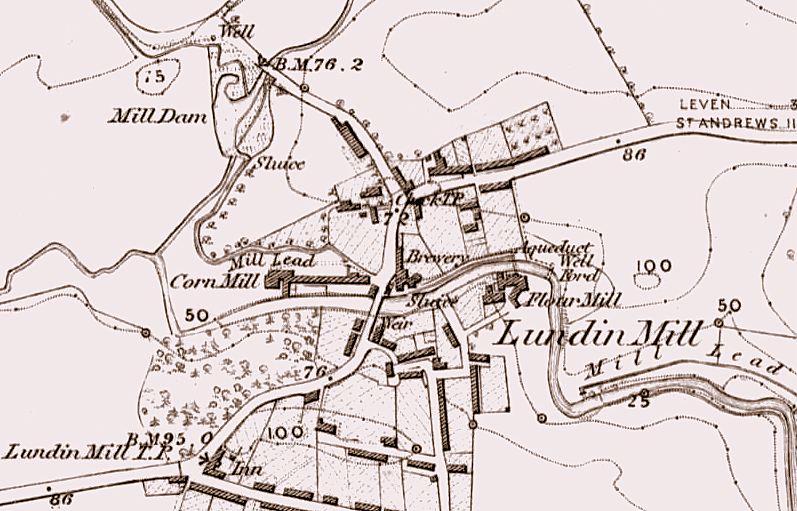
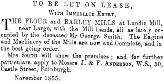
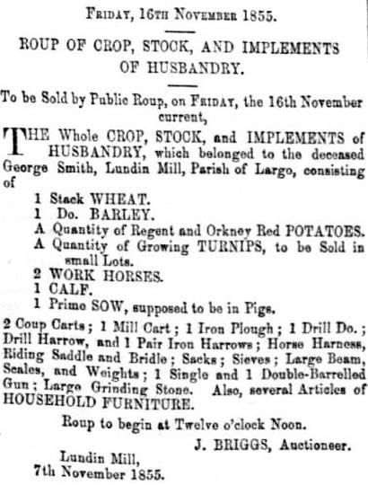
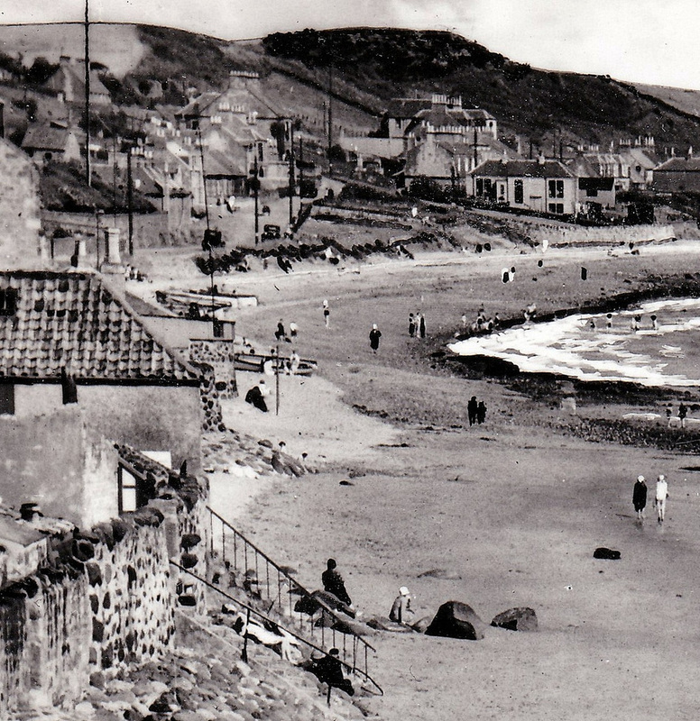
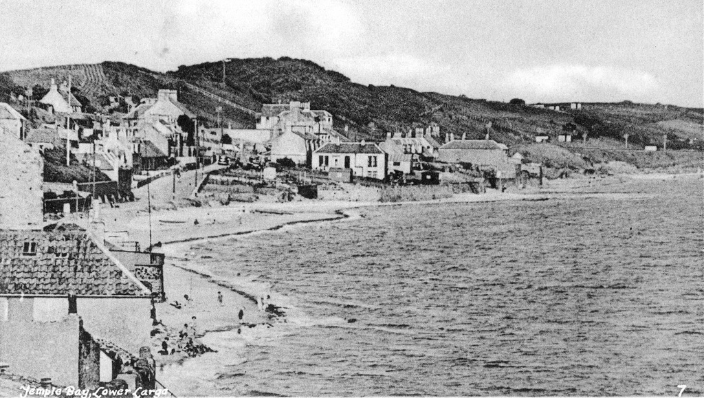
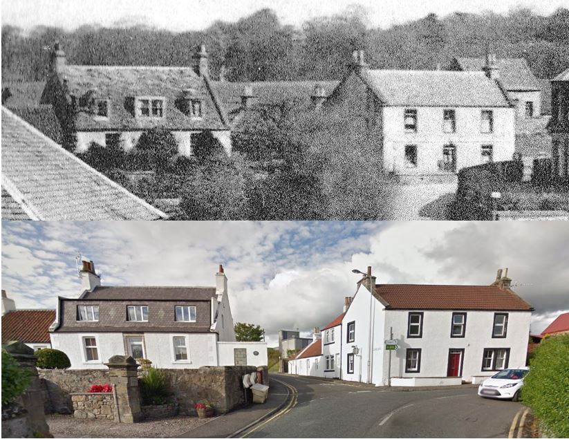
The reporting of local news has evolved greatly over the decades. As the sample of articles from Largo and Lundin Mill below illustrates, there was once a much greater emphasis on the natural environment and our use of it. I find it quite charming that clouds of flies, swarms of bees, nest building and potato shaws were all considered newsworthy....and all very eloquently reported too.
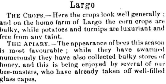
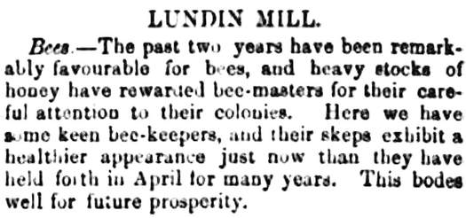
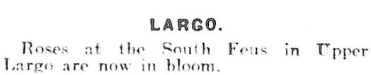
Sources (from top): Fifeshire Advertiser 27 June 1874 and 1 Oct 1870; Fife Herald 13 April 1865; Fifeshire Advertiser 24 Feb 1872; Fife Herald 22 Aug 1867; Fifeshire Advertiser 9 April 1870; Fife Free Press 31 June 1936
 RSS Feed
