
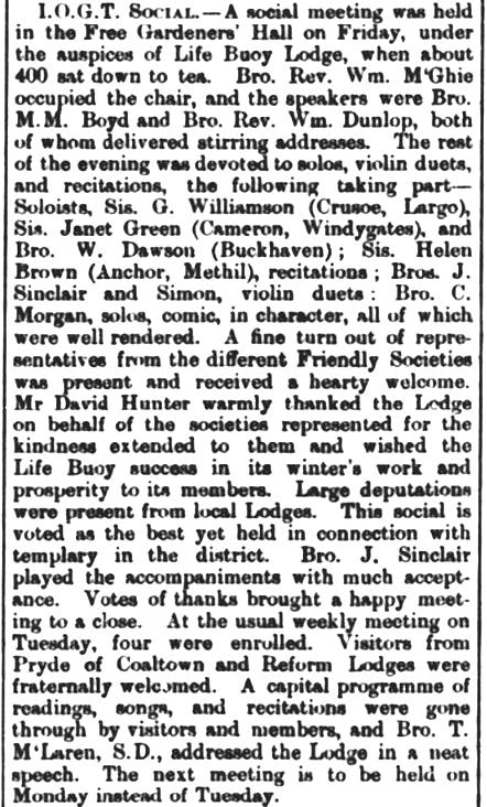
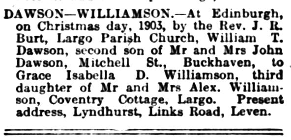
William Thomson Dawson was born in Buckhaven in 1876 to shoemaker John Dawson and Elizabeth Thomson. The family lived at Harbour Head. By the age of 14, William was employed as a clerk. A decade later in 1901, the census still described his occupation as 'clerk'. A keen sportsman, he was considered one of the finest footballers in the district. William was also active in the local lodge of the Independent Order of Good Templars (I.O.G.T.). The newspaper piece below from 23 October 1902 Leven Advertiser tells of an I.OG.T. social which was attended by both William and his future wife, Grace Williamson of Largo. Both William and Grace were musically talented and likely became acquainted through this shared interest. On Christmas Day 1903, William was married to Grace, the third daughter of Drummochy plasterer Alexander Williamson, in Edinburgh by Reverend James Robert Burt of Largo Parish Church.
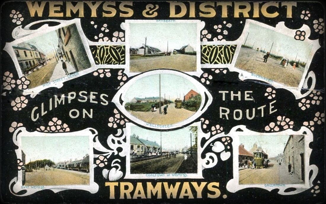
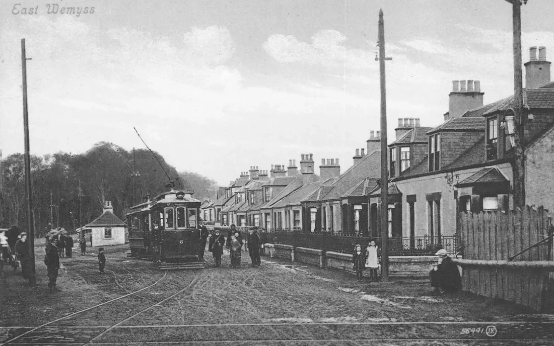
At the time of the 1911 census, taken in April, William was recorded as living in Balmoral Cottage, Buckhaven with his wife and two children, six-year-old John and one-year-old Grace. William's occupation was 'Tramway Accountant', for the Wemyss and District Tramways (a scheme initiated in 1906 by Randolph Wemyss extending from Leven to Kirkcaldy). Later the same year, on 7 October 1911, Dawson was promoted to the position of General Manager, following the retiral of his predecessor. Under his management, the company both flourished and weathered various storms. He would remain General Manager for the remainder of the existence of the tramway.
While residing in Buckhaven, William was instrumental in the establishment of the local Boy Scouts' movement, eventually becoming secretary of the District Scout Association. He was also a founder of the Buckhaven Musical Association, which evolved into the East Fife Musical Association. He was well-known as a vocalist and was also treasurer and secretary of Leven Dramatic Society. He was session clerk of Buckhaven Parish Church for a time. By 1921, William, Grace and their three children (the youngest being Betty) were living at Stein Cottage, in Drummochy. This was next door to Coventry Cottage where Grace's parents and several of her siblings resided.
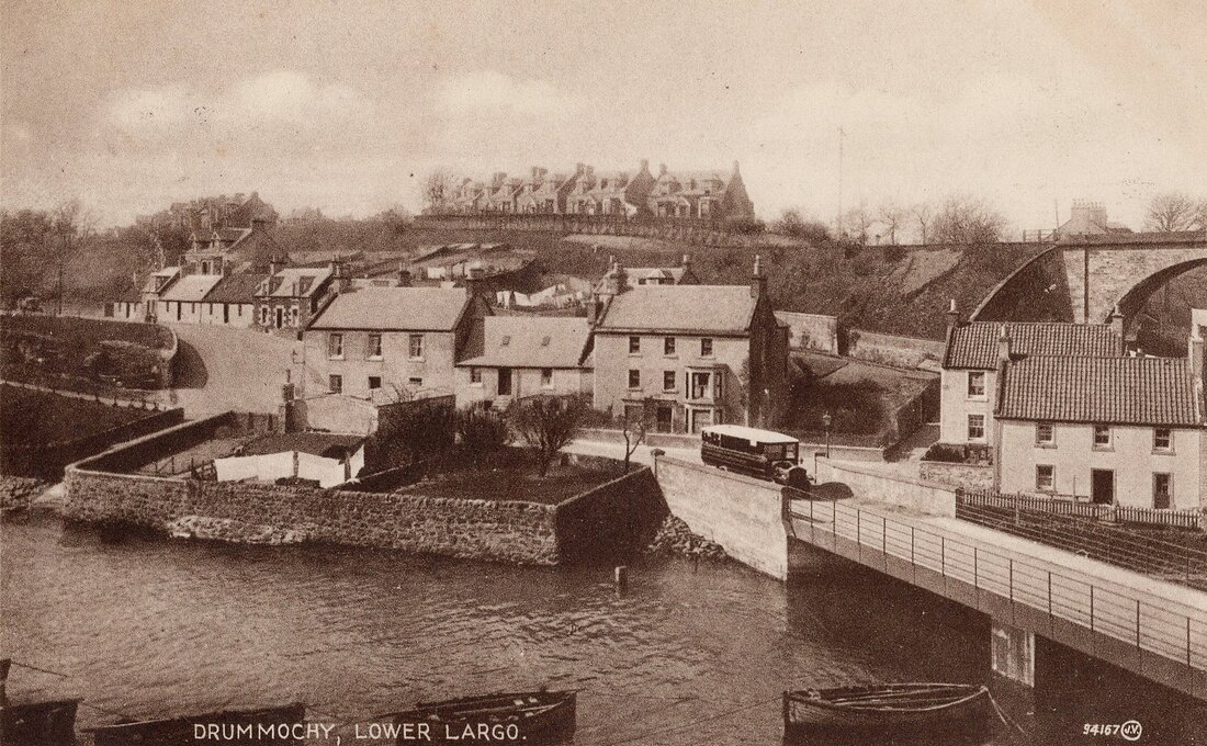
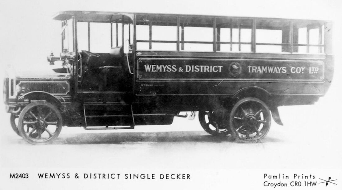
Inevitably, local transport evolved and the trams were increasingly challenged by omnibuses. The Wemyss and District Tramways Company invested in some bus stock of its own (and a few charabancs). One model was the Tilling-Stevens bus pictured above, navigating the bridge over the Keil Burn, with Drummochy in the background, including Stein Cottage. During the 1920s the Dawson family moved to Leven, living in 'Lyndhurst' on Links Road. In November 1927, William was elected to Leven Town Council. By then he was aged fifty and a keen golfer and bowler. The previous year he had been elected vice-president of the Scottish Tramways Managers' Association and subsequently became its president.

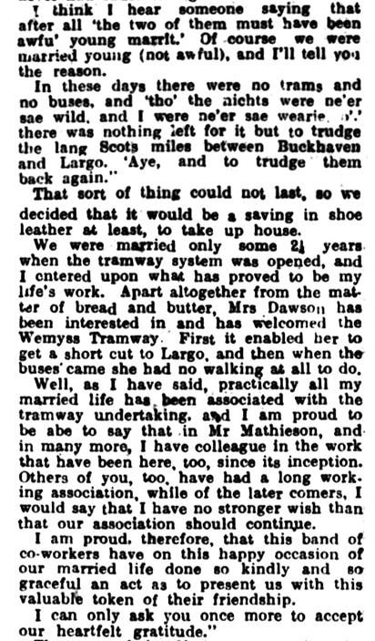
At the end of 1928, William and Grace celebrated their silver wedding anniversary. The occasion was marked at the annual dinner and dance held by the staff of the Wemyss and District Tramways Company in Leven's Caledonian Hotel. Mr Dawson presided over a gathering of around 190 people. After talking about how there was a greater need for co-ordination between buses and trams in order to ensure efficient public service, Mr Dawson and his wife were presented with a silver tea and coffee service. Below is an extract from Mr Dawson's speech, as published in 22 December 1928 Leven Advertiser. In this he joked about how he and Grace decided to get married to save in shoe leather, due to all the walking he did between Buckhaven and Largo during their courting days.
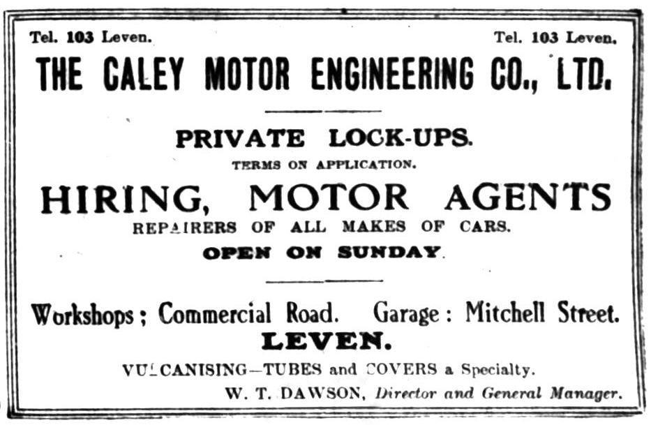
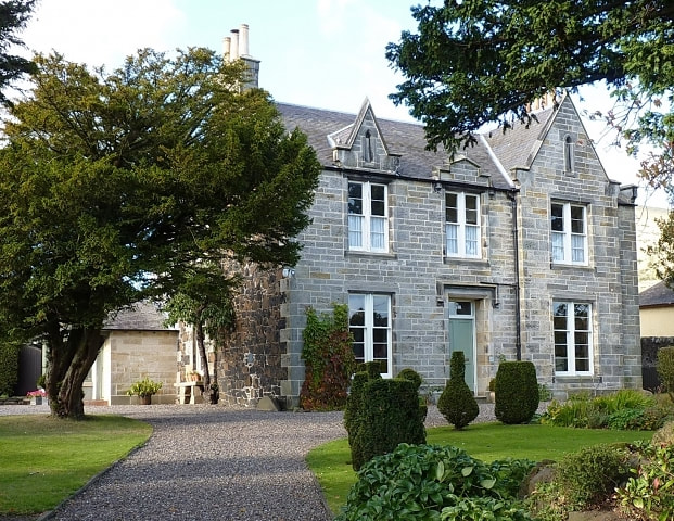
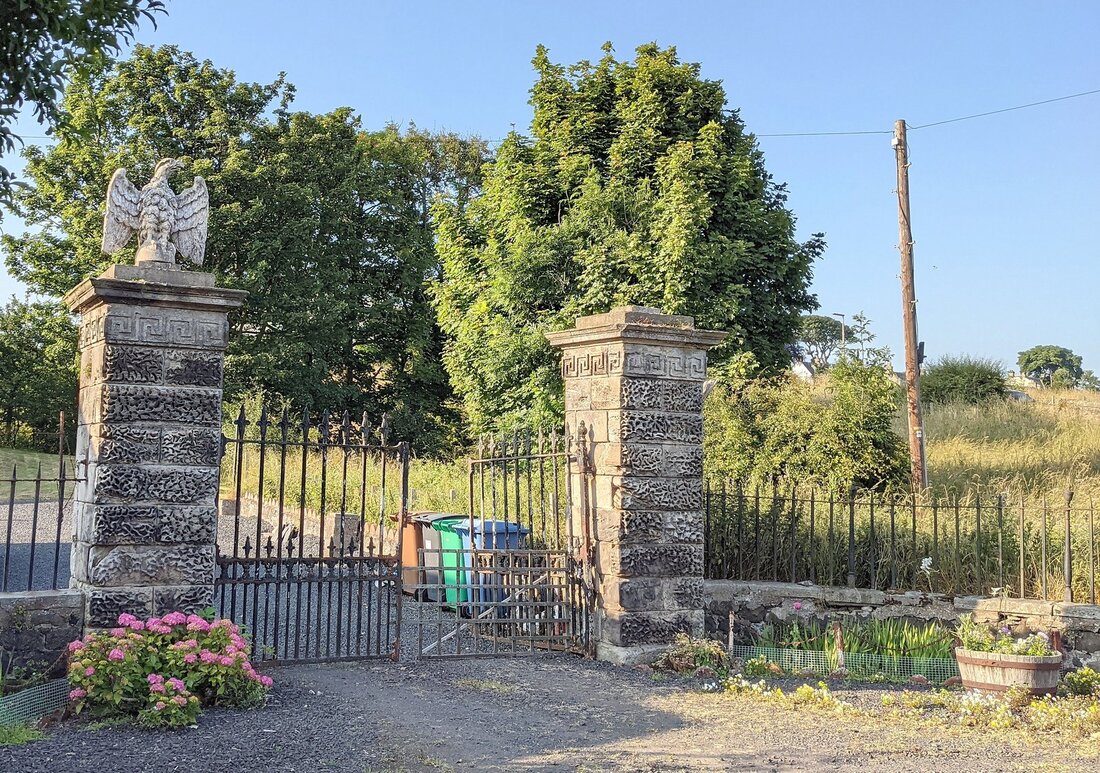
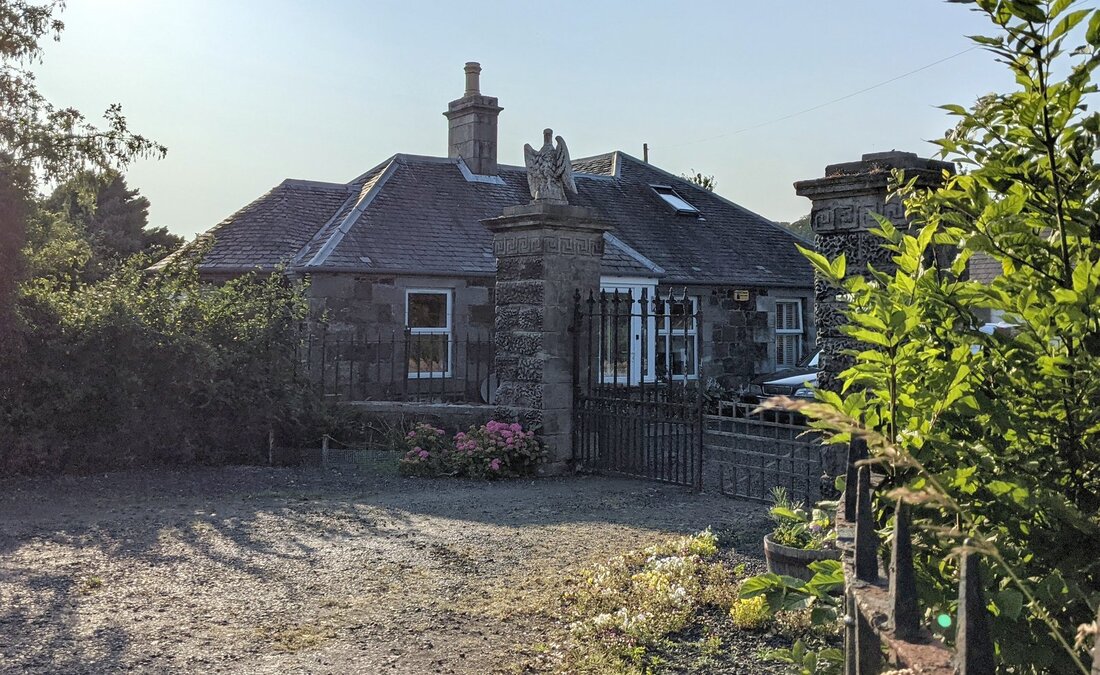
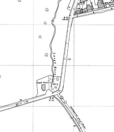
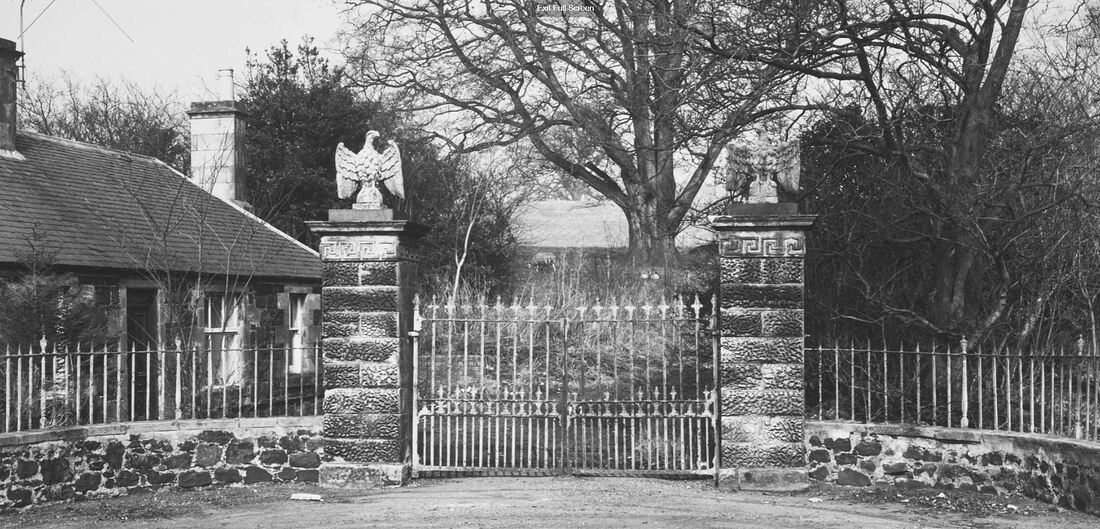
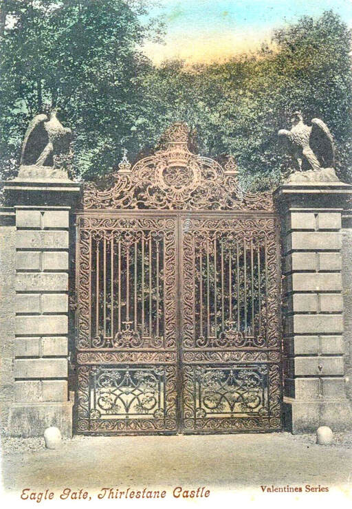
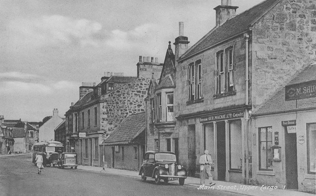
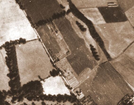
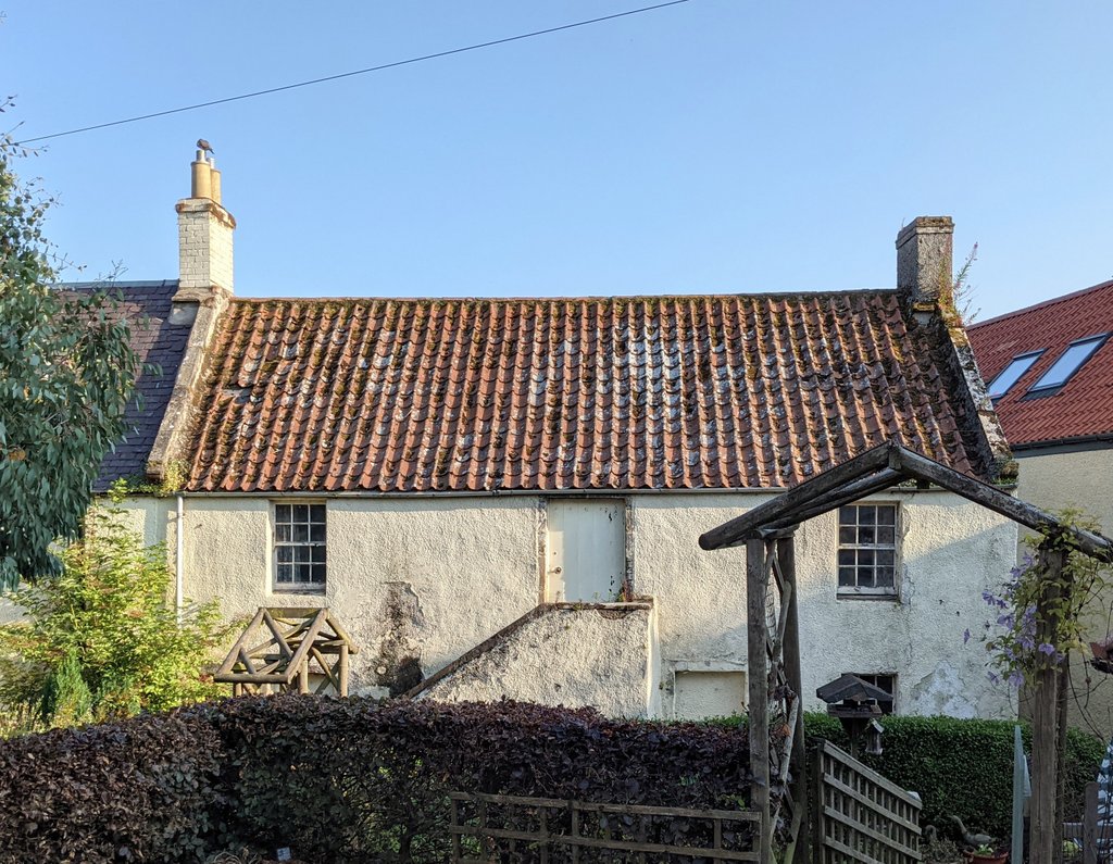
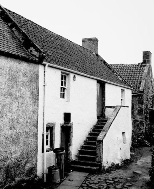
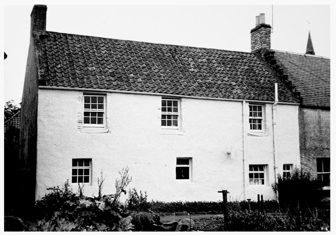
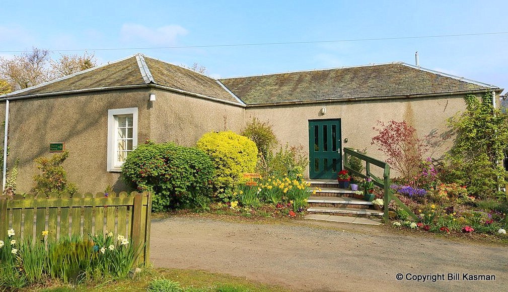
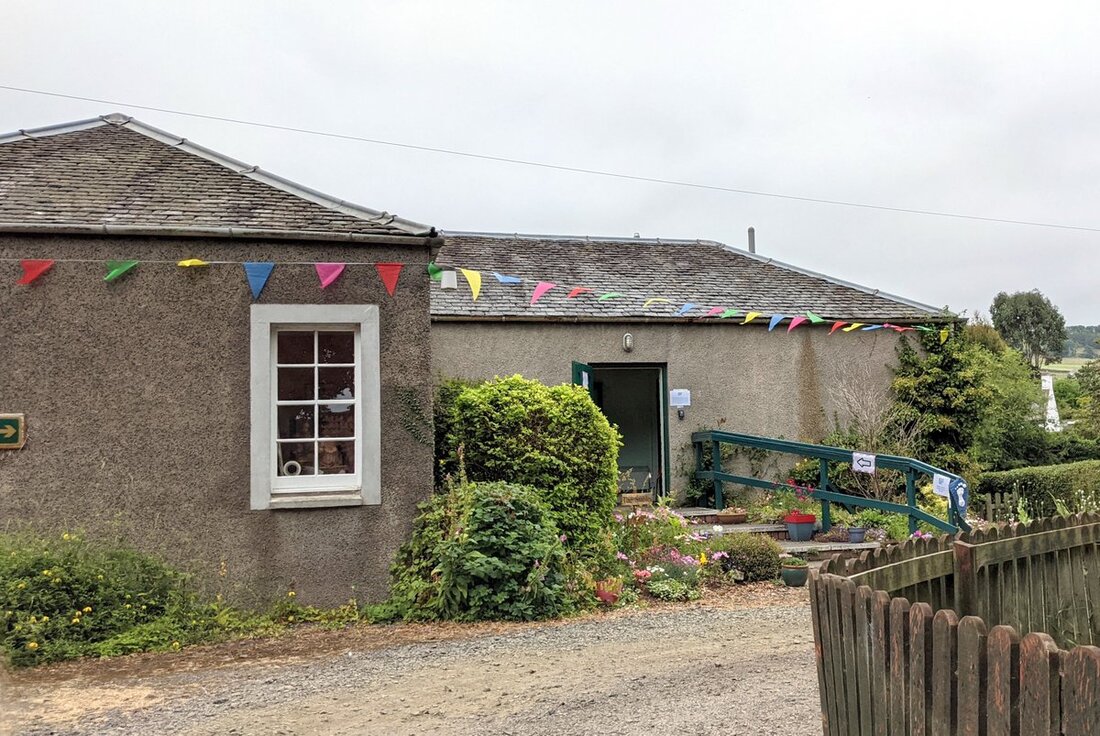
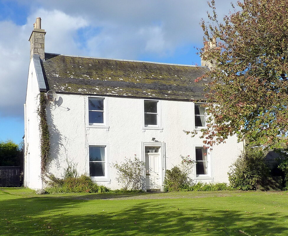
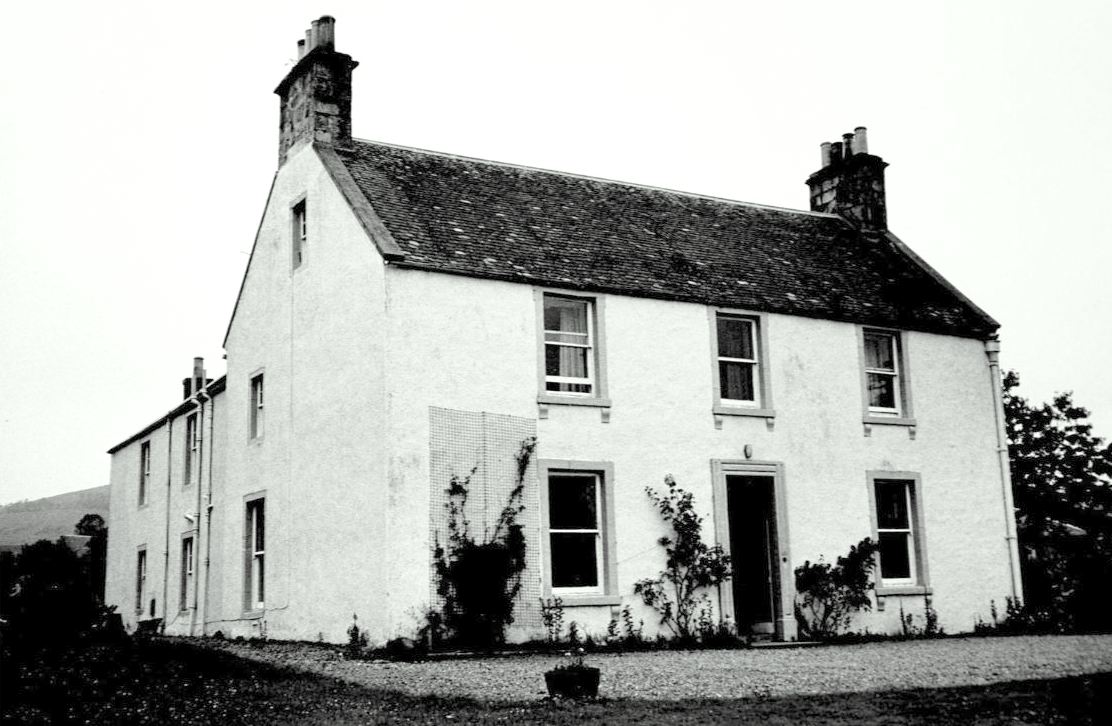
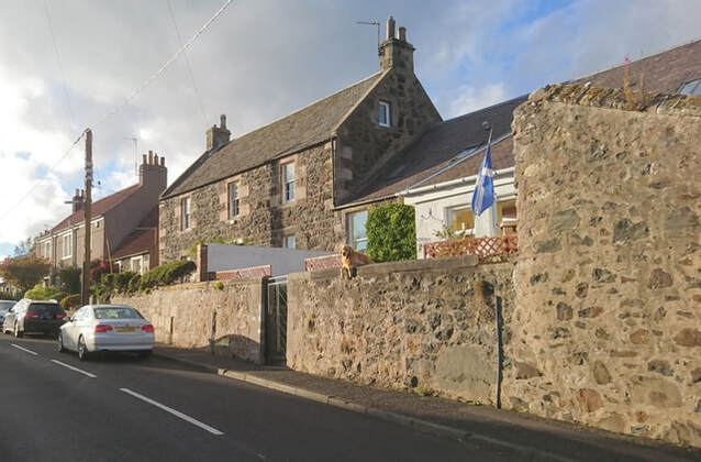
William was also the General Manger of the Caley Motor Engineering Company during the late 1920s (see advert above from 19 November 1927 Leven Advertiser). By 1930, the Dawson family had moved to Upper Largo, to the house shown below, which they named 'Lyndhurst', after their former Leven home. This house on the St Andrews Road had originally been the manse of the United Free Church in Upper Largo (the congregation of which dissolved in 1924). Now a listed building, the listing for Lyndhurst states:
Circa 1850. 2 storeys, a symmetrical. Stugged coursers with polished chamfered margins and quoins. Whin rubble flanks and rear. Shallow advanced gabled bay to right. All windows bipartite with 8 or 10-pane glazing; raised panel over centre 1st floor window, steeply pointed gablet to left window. Coped skews, end stacks, slate roof; rear wing. Modern lean-to conservatory.
On 3 January 1931 the Dawsons held a party at Lyndhurst for forty children of the employees of the tramway, who were conveyed to Upper Largo by bus. After a "sumptuous tea" there was "an impromptu programme of songs, dances and games". Many of the children gave "delightful songs and recitations". Each was given a gift before being returned to their homes (6 Jan 1931 Leven Advertiser). On 30 January 1932, the Wemyss tramway system ceased running and was replaced by a service of buses run by W. Alexander and Sons. William Dawson had been General Manager for 21 years and four other employees had been with the tramway since its beginning in 1906. William continued to live at Lyndhurst, working for Fife Electric Power Company for a time, becoming a Justice of the Peace and acting as a director of East Fife Football Club.
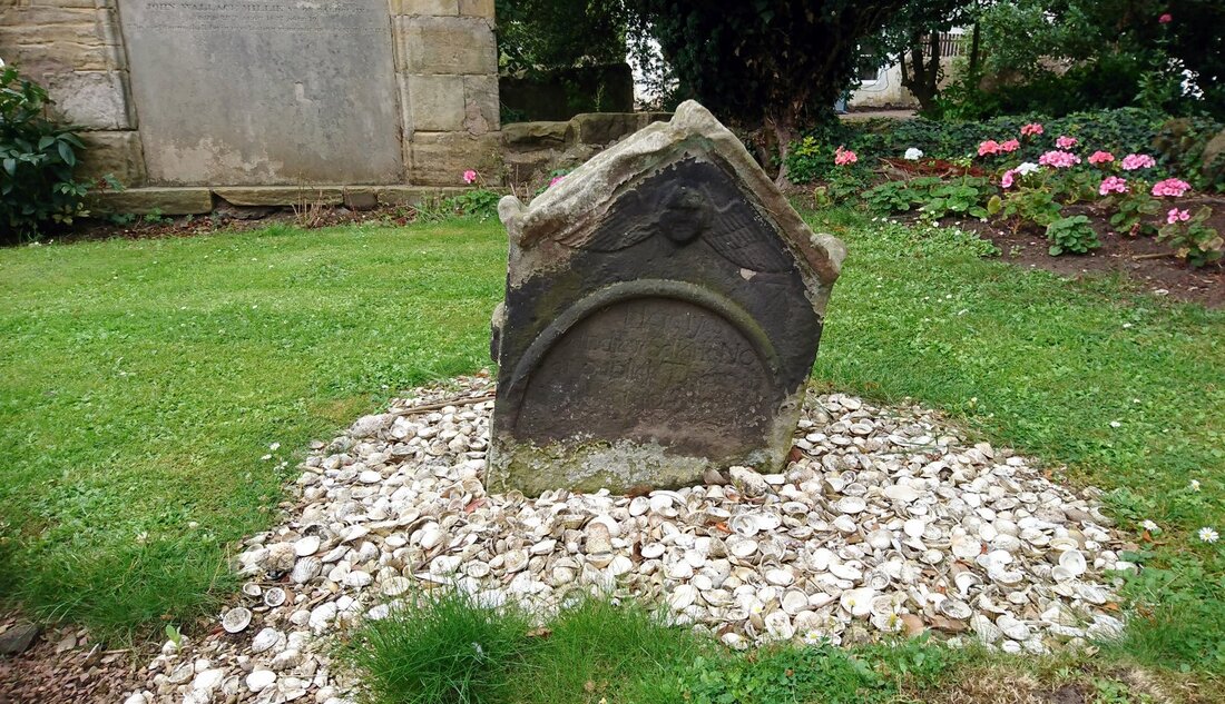
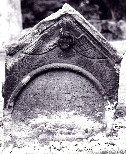
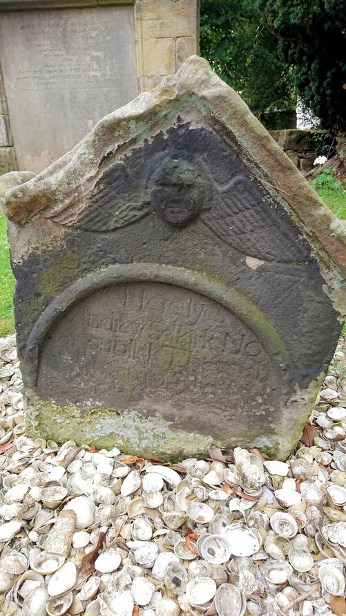
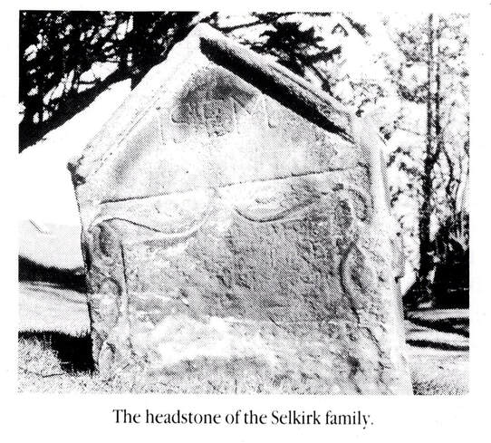
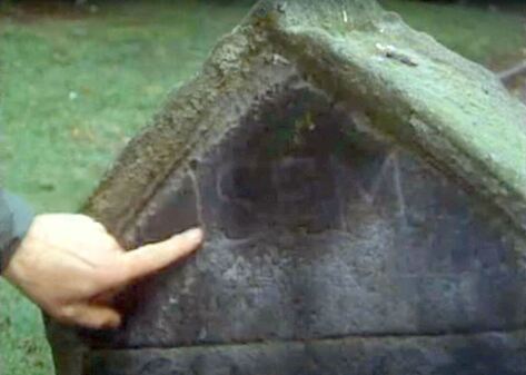
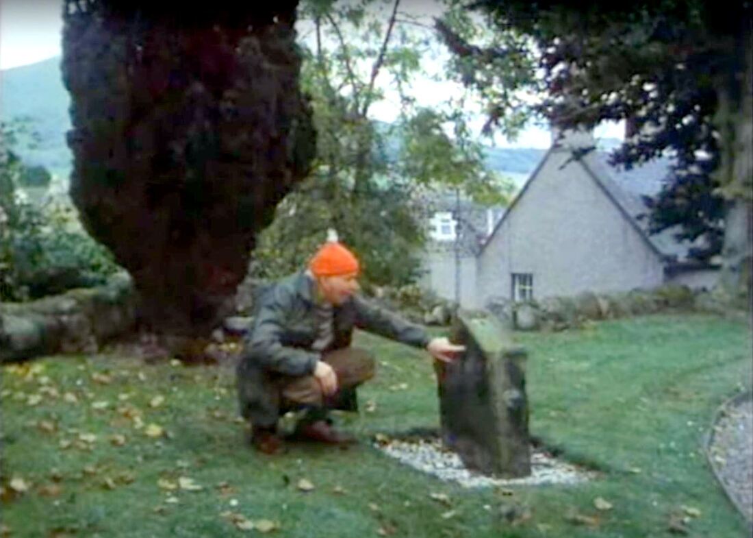
William Dawson died in Edinburgh on 7 June 1943 and his wife Grace died on 13 August 1944 at the Leven home of her daughter Grace. Both William and Grace were buried at Upper Largo cemetery where the gravestone proudly tells of William's management of the Wemyss and District Tramways.

 RSS Feed
